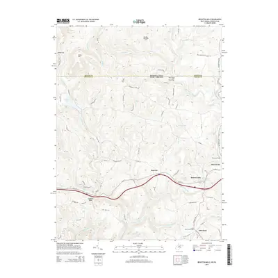
2014 Map of Bruceton Mills
USGS Topo · Published 2014About this map
Bruceton Mills and Brandonville anchor this 2014 survey along the state line between Fayette County, Pennsylvania, and Preston County, West Virginia. The landscape is defined by the winding course of Big Sandy Creek, which feeds the Bruceton Mills Lake and is spanned by landmarks such as the West Clifton Mills Truss Bridge and Barmaster Bridge. To the north, the terrain rises toward Devies Mtn and the protected lands of the Quebec Run Wild Area, where numerous seasonal runs like Tebolt Run and Quebec Run carve through the upland topography.
Find a feature on this map
76 named features on this map. Tap any name to fly to it.
Don’t see what you’re looking for? This feature index may not catch every label — zoom into the map to look around manually.
Map Details
Editions of this 2014 Bruceton Mills Map
This is the sole edition of this map. No revisions or reprints were ever made.
Other maps of this area

1900 · Uniontown
USGS Topo · 1:62,500

1900 · Masontown
USGS Topo · 1:62,500

1902 · Morgantown
USGS Topo · 1:62,500

1903 · Masontown
USGS Topo · 1:62,500

1904 · Bruceton
USGS Topo · 1:62,500

1925 · Morgantown
USGS Topo · 1:62,500

1926 · Bruceton
USGS Topo · 1:62,500

1931 · Uniontown
USGS Topo · 1:62,500

1931 · Masontown
USGS Topo · 1:62,500

1931 · Bruceton Mills
USGS Topo · 1:62,500