2023 Map of Bruceton Mills
USGS Topo · Published 2023About this map
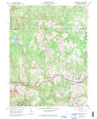
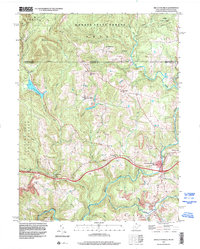
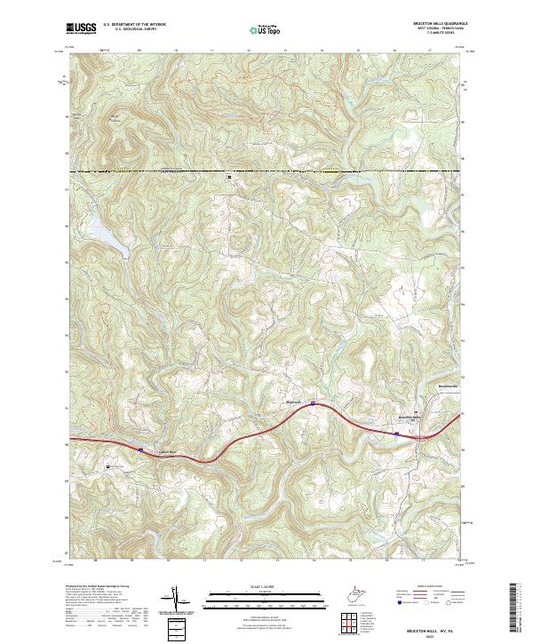
Big Sandy Creek flows through the heart of this landscape, anchoring the historical settlements of Bruceton Mills and Brandonville. The topography is defined by the rise of Davies Mountain and the prominent Wymps Gap near the northern boundary, where the map marks the transition across the state line into Pennsylvania. The area's rural character is evidenced by numerous winding tracks like Wirsing School Rd and Highland Farm Rd, alongside family-named landmarks such as Ward Thompson Spring. Genealogists may find interest in the proximity of Fair View Cem and East View Cem, which serve the local communities established along the Laurel Run and Little Sandy Creek drainages. This recent survey also captures the modern infrastructure of Interstate 68 as it bypasses the older center of Hopewell, illustrating how transportation corridors have shifted around these traditional Appalachian villages.
Find a feature on this map
75 named features on this map. Tap any name to fly to it.
Don’t see what you’re looking for? This feature index may not catch every label — zoom into the map to look around manually.
Map Details
Editions of this 2023 Bruceton Mills Map
This is the sole edition of this map. No revisions or reprints were ever made.
Historical Maps of Hopewell Through Time
4 maps found