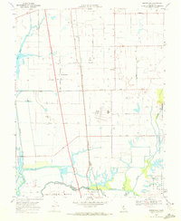
1968 Map of Bruceville
USGS Topo · Published 1972About this map
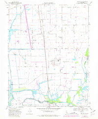
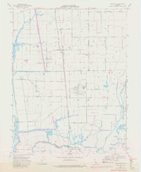
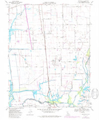
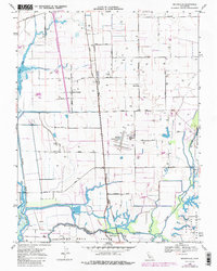
The confluence of the Mokelumne River and the Cosumnes River dominates this Sacramento Delta landscape, where complex waterways and drainage systems like Snodgrass Slough and Grizzley Slough define the land use. Agricultural activity is central to the area's identity, evidenced by the New Hope Tract and established homesteads such as Kuhn Ranch. In the late 1960s, the region supported diverse infrastructure, from the aviation operations at Franklin Field and a nearby Landing Strip to the civic grounds of the County Farm. Small settlements like Bruceville and Point Pleasant are anchored by a network of rural roads including Lambert Road and Twin Cities Road. The map also illustrates the transition of transportation through the area, marking both the established lines of the Southern Pacific and Western Pacific railroads alongside a prominent Proposed Location for future highway development.
Find a feature on this map
32 named features on this map. Tap any name to fly to it.
Don’t see what you’re looking for? This feature index may not catch every label — zoom into the map to look around manually.
Map Details
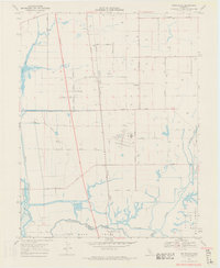
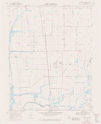
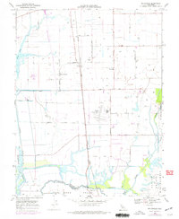
Editions of this 1968 Bruceville Map
8 editions found
Other maps of this area

1894 · Lodi
USGS Topo · 1:125,000

1908 · Courtland
USGS Topo · 1:62,500

1909 · Elk Grove
USGS Topo · 1:31,680

1909 · Florin
USGS Topo · 1:31,680

1910 · New Hope
USGS Topo · 1:31,680

1910 · Woodbridge
USGS Topo · 1:31,680

1910 · Bruceville
USGS Topo · 1:31,680

1910 · Galt
USGS Topo · 1:31,680

1910 · Isleton
USGS Topo · 1:31,680

1916 · Vorden
USGS Topo · 1:31,680