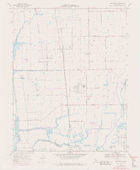
1968 Map of Bruceville
USGS Topo · Published 1977About this map
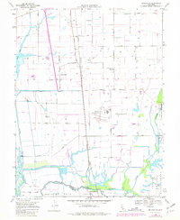
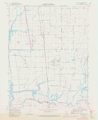
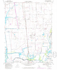
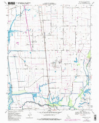
The Mokelumne River and Cosumnes River converge in this agricultural landscape south of Sacramento, defining a region shaped by complex water management and rail transit. This 1968 survey reveals the intricate network of drainage ditches and levees protecting the New Hope Tract and surrounding lowlands. The arrival of the Southern Pacific and Western Pacific railroads established the foundational corridors for small settlements like Bruceville and Point Pleasant.
Find a feature on this map
27 named features on this map. Tap any name to fly to it.
Don’t see what you’re looking for? This feature index may not catch every label — zoom into the map to look around manually.
Map Details
Editions of this 1968 Bruceville Map
8 editions found
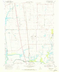
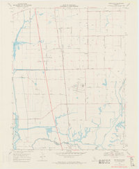
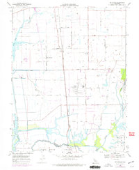
Other maps of this area

1894 · Lodi
USGS Topo · 1:125,000

1908 · Courtland
USGS Topo · 1:62,500

1909 · Elk Grove
USGS Topo · 1:31,680

1909 · Florin
USGS Topo · 1:31,680

1910 · New Hope
USGS Topo · 1:31,680

1910 · Woodbridge
USGS Topo · 1:31,680

1910 · Bruceville
USGS Topo · 1:31,680

1910 · Galt
USGS Topo · 1:31,680

1910 · Isleton
USGS Topo · 1:31,680

1916 · Vorden
USGS Topo · 1:31,680