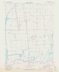
1968 Map of Bruceville
USGS Topo · Published 1981About this map
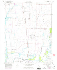
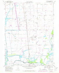
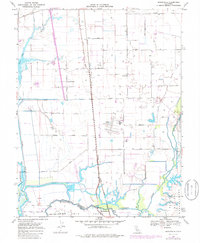
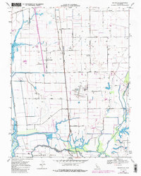
The delta landscape of the Sacramento Co and San Joaquin Co border is defined by a complex network of sloughs and rivers that shaped the region's early transport and agriculture. The convergence of the Mokelumne River, Cosumnes River, and Laguna River near Mokelumne City highlights a period when waterway access was as vital as the steel rails of the Western Pacific Railroad and Southern Pacific that bisect the territory.
Find a feature on this map
39 named features on this map. Tap any name to fly to it.
Don’t see what you’re looking for? This feature index may not catch every label — zoom into the map to look around manually.
Map Details
Editions of this 1968 Bruceville Map
8 editions found
Other maps of this area

1894 · Lodi
USGS Topo · 1:125,000

1908 · Courtland
USGS Topo · 1:62,500

1909 · Elk Grove
USGS Topo · 1:31,680

1909 · Florin
USGS Topo · 1:31,680

1910 · New Hope
USGS Topo · 1:31,680

1910 · Woodbridge
USGS Topo · 1:31,680

1910 · Bruceville
USGS Topo · 1:31,680

1910 · Galt
USGS Topo · 1:31,680

1910 · Isleton
USGS Topo · 1:31,680

1916 · Vorden
USGS Topo · 1:31,680