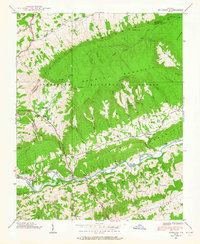
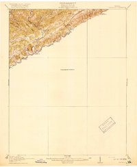
1938 Map of Brumley
USGS Topo · Published 1965About this map
Clinch Mountain and the Jefferson National Forest dominate this 1930s landscape, where the North Fork Holston River snakes through the southern portion of the quadrangle. The settlement pattern is defined by narrow valleys and the gaps that connect them, notably at Little Moccasin Gap and Brumley Gap. This area of Southwest Virginia shows a distinct concentration of local civic life along the river and creek bottoms, anchored by small rural institutions like Chestnut Grove Ch, Riverside Ch, and the Moccasin Gap Sch. A notable outlier in the upper northwest corner is the State Prison Camp, situated near the headwaters of Little Moccasin Cr. The mapping of Numerous hollows, such as Long Arm Hollow and Stagger Hollow, reveals the complex drainage systems that historically dictated land use and transportation in this portion of Washington County.
Find a feature on this map
92 named features on this map. Tap any name to fly to it.
Don’t see what you’re looking for? This feature index may not catch every label — zoom into the map to look around manually.
Map Details
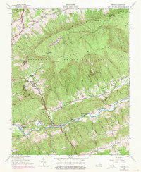
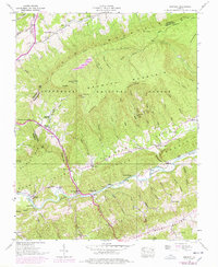
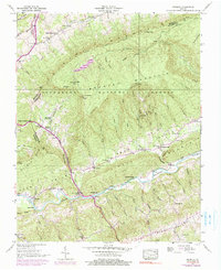
Editions of this 1938 Brumley Map
4 editions found
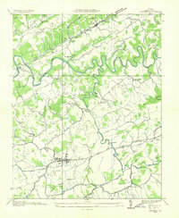
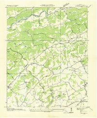
Other maps of this area

1891 · Abingdon
USGS Topo · 1:125,000

1894 · Abingdon
USGS Topo · 1:125,000

1897 · Bristol
USGS Topo · 1:125,000

1902 · Bristol
USGS Topo · 1:125,000

1909 · Abingdon
USGS Topo · 1:96,000

1911 · Abingdon
USGS Topo · 1:125,000
1918 · Carterton
USGS Topo · 1:62,500
1934 · Lebanon
USGS Topo · 1:24,000
1934 · Wallace
USGS Topo · 1:24,000

1934 · Brumley
USGS Topo · 1:24,000