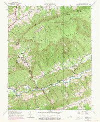
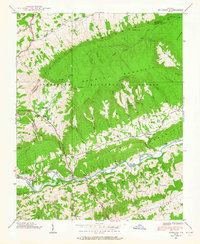
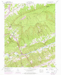
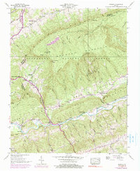
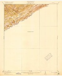
1938 Map of Brumley
USGS Topo · Published 1971About this map
Brumley Mountain and the Jefferson National Forest dominate the high ground of the Russell and Washington county line. The landscape is defined by the sharp ridges of the Brumley Rim and the Poor Valley Knobs, which channel settlement and travel into the lowlands of Poor Valley and Rich Valley. Along the North Fork Holston River, small communities like Roebuck and Riverside Ch dot the riverbanks, while mountain gaps such as Moccasin Gap and Little Moccasin Gap provide the primary transit points through the difficult terrain.
Find a feature on this map
98 named features on this map. Tap any name to fly to it.
Don’t see what you’re looking for? This feature index may not catch every label — zoom into the map to look around manually.
Map Details
Editions of this 1938 Brumley Map
4 editions found
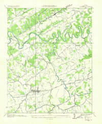
Other maps of this area

1891 · Abingdon
USGS Topo · 1:125,000

1894 · Abingdon
USGS Topo · 1:125,000

1897 · Bristol
USGS Topo · 1:125,000

1902 · Bristol
USGS Topo · 1:125,000

1909 · Abingdon
USGS Topo · 1:96,000

1911 · Abingdon
USGS Topo · 1:125,000
1918 · Carterton
USGS Topo · 1:62,500
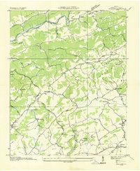
1934 · Lebanon
USGS Topo · 1:24,000
1934 · Wallace
USGS Topo · 1:24,000

1934 · Brumley
USGS Topo · 1:24,000