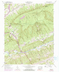
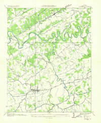
1938 Map of Brumley
USGS Topo · Published 1991About this map
The North Fork Holston River carves a deep valley through the ridge-and-valley landscape of the Jefferson National Forest in this pre-war survey. The terrain is dominated by the massive presence of Brumley Mountain and the prominent Clinch Mountain range, which dictate the paths of early travel through Little Moccasin Gap and Brumley Gap. These natural corridors shaped the settlement patterns of the late 1930s, concentrating community life around small crossroads like Houston and Roebuck. Local genealogy is anchored in rural institutions, from the Moccasin Gap School and Hayes School to several country churches including Green Valley Ch and Chestnut Grove Ch. The map detail captures a moment when the rugged topography of Poor Valley and Rich Valley remained largely defined by traditional mountain agriculture and timberland before later 20th-century developments.
Find a feature on this map
60 named features on this map. Tap any name to fly to it.
Don’t see what you’re looking for? This feature index may not catch every label — zoom into the map to look around manually.
Map Details
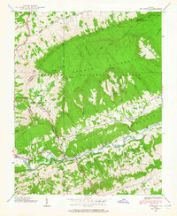
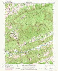
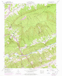
Editions of this 1938 Brumley Map
4 editions found
Other maps of this area

1891 · Abingdon
USGS Topo · 1:125,000

1894 · Abingdon
USGS Topo · 1:125,000

1897 · Bristol
USGS Topo · 1:125,000

1902 · Bristol
USGS Topo · 1:125,000

1909 · Abingdon
USGS Topo · 1:96,000

1911 · Abingdon
USGS Topo · 1:125,000

1918 · Carterton
USGS Topo · 1:62,500
1934 · Lebanon
USGS Topo · 1:24,000

1934 · Wallace
USGS Topo · 1:24,000

1934 · Brumley
USGS Topo · 1:24,000