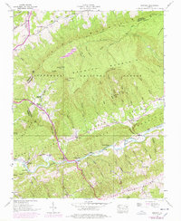
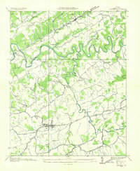
1938 Map of Brumley
USGS Topo · Published 1978About this map
Clinch Mountain serves as the dominant spine of this landscape, separating the rugged ridges of the Jefferson National Forest from the settled valleys below. The map documents a rural Appalachian community centered around the North Fork Holston River and its many tributaries, such as Moccasin Creek. Small settlements like Willis and Roebuck are joined by numerous named coves and gaps that define the local geography, including Moccasin Gap and Little Moccasin Gap. Local life is anchored by family and community institutions, evidenced by the Phelps Cem, Moccasin Gap Sch, and several houses of worship like Green Valley Ch and Riverside Ch. The detailed surveying of river crossings such as Scott Ford and the naming of many small hollows like Stagger Hollow and Canebrake Hollow provide a precise look at the mid-20th-century topography of the area.
Find a feature on this map
106 named features on this map. Tap any name to fly to it.
Don’t see what you’re looking for? This feature index may not catch every label — zoom into the map to look around manually.
Map Details
Editions of this 1938 Brumley Map
4 editions found
Other maps of this area

1891 · Abingdon
USGS Topo · 1:125,000

1894 · Abingdon
USGS Topo · 1:125,000

1897 · Bristol
USGS Topo · 1:125,000

1902 · Bristol
USGS Topo · 1:125,000

1909 · Abingdon
USGS Topo · 1:96,000

1911 · Abingdon
USGS Topo · 1:125,000

1918 · Carterton
USGS Topo · 1:62,500
1934 · Lebanon
USGS Topo · 1:24,000

1934 · Wallace
USGS Topo · 1:24,000

1934 · Brumley
USGS Topo · 1:24,000