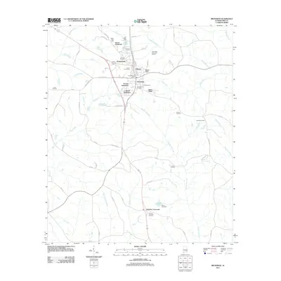
2011 Map of Brundidge
USGS Topo · Published 2011About this map
Brundidge serves as the central hub of this South Alabama landscape, showing a pattern of residential growth through several named developments such as Ramage Subdivision and Caldwell Subdivision. The town's layout is anchored by the Brundidge Post Office and extends toward neighborhoods like Hillcrest and Green Ridge. To the north, the Brundidge Municipal Airport and the waters of Lake Foreen near Windmill Hills define the local infrastructure.
Find a feature on this map
63 named features on this map. Tap any name to fly to it.
Don’t see what you’re looking for? This feature index may not catch every label — zoom into the map to look around manually.
Map Details
Editions of this 2011 Brundidge Map
This is the sole edition of this map. No revisions or reprints were ever made.
Other maps of this area

1948 · Brundidge
USGS Topo · 1:62,500

1950 · Brundidge
USGS Topo · 1:62,500

1953 · Dothan
USGS Topo · 1:250,000

1954 · Dothan
USGS Topo · 1:250,000

1955 · Dothan
USGS Topo · 1:250,000

1960 · Brundidge
USGS Topo · 1:24,000

1960 · Brundidge SE
USGS Topo · 1:24,000

1960 · Victoria
USGS Topo · 1:24,000

1960 · Brundidge NW
USGS Topo · 1:24,000

1962 · Brundidge
USGS Topo · 1:25,000
Featured Places
- Brundidge, AL
- Broad View, Brundidge
- Pierson Subdivision, Brundidge
- Hamilton Crossroads, AL
- Caldwell Subdivision, Brundidge