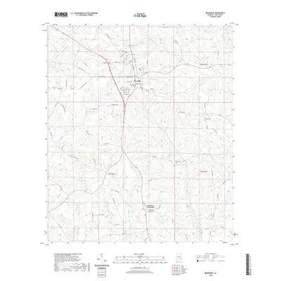
2020 Map of Brundidge
USGS Topo · Published 2020About this map
The town of Brundidge serves as the central hub of this Pike County landscape, where the local road network converges on S Main St and N Main St. This modern survey documents a community characterized by its many small family and municipal burial grounds, such as Brundidge City Cem and Fleming Cem, which provide significant points of interest for genealogical research. To the south, Hamilton Crossroads marks a distinct rural junction anchored by the Hamilton Crossroads Cem.
Find a feature on this map
87 named features on this map. Tap any name to fly to it.
Don’t see what you’re looking for? This feature index may not catch every label — zoom into the map to look around manually.
Map Details
Editions of this 2020 Brundidge Map
This is the sole edition of this map. No revisions or reprints were ever made.
Other maps of this area

1948 · Brundidge
USGS Topo · 1:62,500

1950 · Brundidge
USGS Topo · 1:62,500

1953 · Dothan
USGS Topo · 1:250,000

1954 · Dothan
USGS Topo · 1:250,000

1955 · Dothan
USGS Topo · 1:250,000

1960 · Brundidge
USGS Topo · 1:24,000

1960 · Brundidge SE
USGS Topo · 1:24,000

1960 · Victoria
USGS Topo · 1:24,000

1960 · Brundidge NW
USGS Topo · 1:24,000

1962 · Brundidge
USGS Topo · 1:25,000
Featured Places
- Brundidge, AL
- Broad View, Brundidge
- Pierson Subdivision, Brundidge
- Hamilton Crossroads, AL
- Caldwell Subdivision, Brundidge