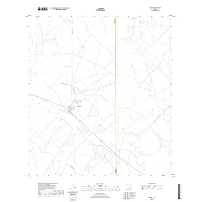
2019 Map of Bruni
USGS Topo · Published 2019About this map
Bruni serves as the central hub of this South Texas landscape, situated along a prominent transportation corridor where State Highway 359 meets local routes like E Third St and Ave B. The grid layout of the town, featuring numbered streets and lettered avenues such as Ave G and 12th St, stands in sharp contrast to the surrounding ranchland. The drainage of Arroyo de los Angeles winds southeastward across the terrain, defining the natural topography of the region. The boundary between Webb Co and Duval Co is clearly demarcated, cutting through the brush country north to south. This 2019 survey illustrates the rural infrastructure of the area, where managed ranching roads like Ranch Rd 2050 and Ranch Rd 8072A connect isolated properties to the settlement at Bruni.
Find a feature on this map
13 named features on this map. Tap any name to fly to it.
Don’t see what you’re looking for? This feature index may not catch every label — zoom into the map to look around manually.
Map Details
Editions of this 2019 Bruni Map
This is the sole edition of this map. No revisions or reprints were ever made.
Other maps of this area
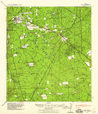
1939 · Bruni
USGS Topo · 1:62,500
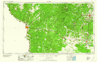
1956 · Laredo
USGS Topo · 1:250,000
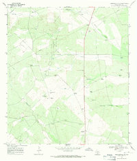
1967 · Hebbronville NW
USGS Topo · 1:24,000
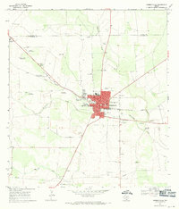
1967 · Hebbronville
USGS Topo · 1:24,000
1968 · Parrilla Creek SW
USGS Topo · 1:24,000
1968 · Mills Bennett SW
USGS Topo · 1:24,000
1968 · San Pablo
USGS Topo · 1:24,000
1972 · Albercas Ranch
USGS Topo · 1:24,000
1972 · Bruni SE
USGS Topo · 1:24,000
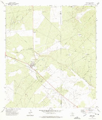
1972 · Bruni
USGS Topo · 1:24,000