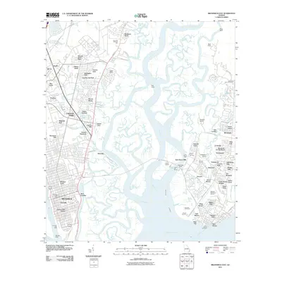
2011 Map of Brunswick East
USGS Topo · Published 2011About this map
The complex marshes and maritime geography of Glynn County define this coastal area, where the Mackay River and Back River separate the mainland from the developed shores of Saint Simons Island. On the island’s southern edge, the Saint Simons Lighthouse stands as a primary landmark near the Sea Island Golf Course and the historical Saint Simon Mills. This coastal landscape is intricately carved by tidal waterways like Troup Creek, Crooked Creek, and Dunbar Creek, which have shaped local settlement patterns from Ebo Landing to the residential enclaves of Glynn Haven and Epworth Acres.
Find a feature on this map
109 named features on this map. Tap any name to fly to it.
Don’t see what you’re looking for? This feature index may not catch every label — zoom into the map to look around manually.
Map Details
Editions of this 2011 Brunswick East Map
This is the sole edition of this map. No revisions or reprints were ever made.
Other maps of this area

1918 · Everett City
USGS Topo · 1:62,500

1918 · Bladen
USGS Topo · 1:62,500

1920 · Everett City
USGS Topo · 1:62,500

1921 · Darien
USGS Topo · 1:62,500

1939 · Bladen
USGS Topo · 1:62,500

1944 · Everett City
USGS Topo · 1:62,500

1945 · Brunswick
USGS Topo · 1:62,500

1946 · Brunswick
USGS Topo · 1:250,000

1948 · Brunswick
USGS Topo · 1:250,000

1954 · Altamaha Sound
USGS Topo · 1:24,000