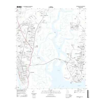
2014 Map of Brunswick East
USGS Topo · Published 2014About this map
Brunswick and the surrounding coastal marshlands of Glynn County are shown in fine detail just after the turn of the 21st century. The map illustrates a landscape where dense suburban developments like Beverly Shores and Kensington Park meet the intricate tidal waterways of the Mackay River and Back River. A central cultural landmark is the Fort Frederica National Monument, preserving the colonial history of Saint Simons Island.
Find a feature on this map
93 named features on this map. Tap any name to fly to it.
Don’t see what you’re looking for? This feature index may not catch every label — zoom into the map to look around manually.
Map Details
Editions of this 2014 Brunswick East Map
This is the sole edition of this map. No revisions or reprints were ever made.
Other maps of this area
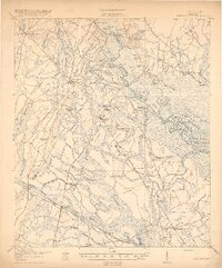
1918 · Everett City
USGS Topo · 1:62,500
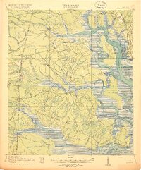
1918 · Bladen
USGS Topo · 1:62,500
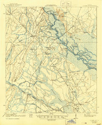
1920 · Everett City
USGS Topo · 1:62,500
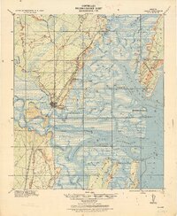
1921 · Darien
USGS Topo · 1:62,500
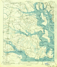
1939 · Bladen
USGS Topo · 1:62,500
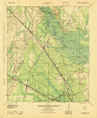
1944 · Everett City
USGS Topo · 1:62,500
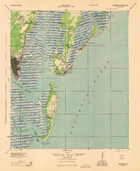
1945 · Brunswick
USGS Topo · 1:62,500
1946 · Brunswick
USGS Topo · 1:250,000
1948 · Brunswick
USGS Topo · 1:250,000
1954 · Altamaha Sound
USGS Topo · 1:24,000