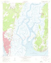
1956 Map of Brunswick East
USGS Topo · Published 1959About this map
Glynco Naval Air Station dominates the northern reaches of this coastal Georgia landscape, a military presence set against a complex network of waterways and salt marshes. The city of Brunswick anchors the southwestern corner, showing a detailed street grid including Newcastle St and Norwich St, while the Torras Causeway Toll provides a vital link across the Back River and Mackay River to St Simons Island.
Find a feature on this map
105 named features on this map. Tap any name to fly to it.
Don’t see what you’re looking for? This feature index may not catch every label — zoom into the map to look around manually.
Map Details
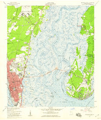
Editions of this 1956 Brunswick East Map
2 editions found
Other maps of this area

1918 · Everett City
USGS Topo · 1:62,500

1918 · Bladen
USGS Topo · 1:62,500

1920 · Everett City
USGS Topo · 1:62,500

1921 · Darien
USGS Topo · 1:62,500

1939 · Bladen
USGS Topo · 1:62,500

1944 · Everett City
USGS Topo · 1:62,500

1945 · Brunswick
USGS Topo · 1:62,500

1946 · Brunswick
USGS Topo · 1:250,000

1948 · Brunswick
USGS Topo · 1:250,000

1954 · Altamaha Sound
USGS Topo · 1:24,000