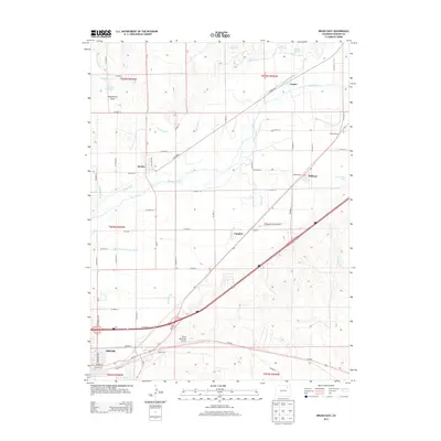
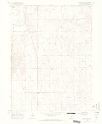
2013 Map of Brush East
USGS Topo · Published 2013About this map
The S Platte River corridor dominates this 2013 landscape, where a complex network of historic water management features defines the agricultural character of Morgan County. Long-established infrastructure like the Snyder Canal, Riverside Ditch, and the Lower Platte and Beaver Ditch illustrate the region's reliance on irrigation to sustain the settlements of Snyder, Hillrose, and Camden. To the southwest, the town of Brush serves as a hub, anchored by its municipal grid and proximity to the Brush Municipal Airport. This survey provides a clear view of the transition from the river valley's riparian bottomlands to the surrounding high plains, marked by landmarks such as Dead Horse Draw and Trowel Ranch. The map traces the critical transportation and utility corridors, including Us-34 E and the N Sterling Canal, which have historically linked these high-plains communities to broader regional markets.
Find a feature on this map
62 named features on this map. Tap any name to fly to it.
Don’t see what you’re looking for? This feature index may not catch every label — zoom into the map to look around manually.
Map Details
Editions of this 2013 Brush East Map
This is the sole edition of this map. No revisions or reprints were ever made.
Other maps of this area
1951 · Dead Horse Springs
USGS Topo · 1:24,000
1951 · Messex
USGS Topo · 1:24,000
1951 · Brush West
USGS Topo · 1:24,000
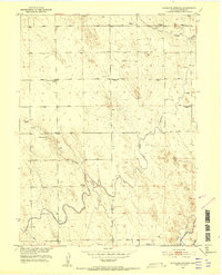
1951 · Antelope Springs
USGS Topo · 1:24,000
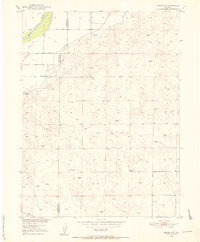
1951 · Merino SW
USGS Topo · 1:24,000
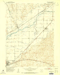
1951 · Brush East
USGS Topo · 1:24,000

1954 · Sterling
USGS Topo · 1:250,000

1958 · Sterling
USGS Topo · 1:250,000
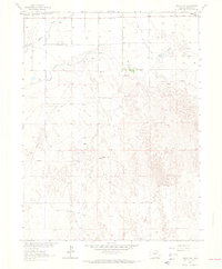
1963 · Round Top
USGS Topo · 1:24,000
1965 · Miller Ranch
USGS Topo · 1:24,000