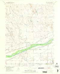
1951 Map of Brush West
USGS Topo · Published 1970About this map
The South Platte River corridor dominates this 1951 study of Morgan County, revealing an intricate network of irrigation vital to the high plains agricultural economy. The landscape is defined by human engineering, where the Upper Platte and Beaver Canal, Riverside Canal, and Snyder and Curry Canal divert water across the valley to support local ranching and farming. In the southern portion of the map, the town of Brush serves as a regional hub, anchored by the Eben-Ezer Hospital and served by two major rail lines: the Union Pacific and the Chicago Burlington and Quincy.
Find a feature on this map
22 named features on this map. Tap any name to fly to it.
Don’t see what you’re looking for? This feature index may not catch every label — zoom into the map to look around manually.
Map Details
Editions of this 1951 Brush West Map
5 editions found
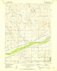
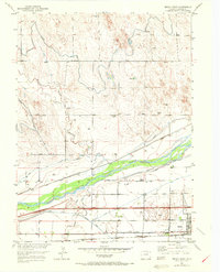
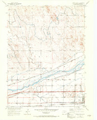
Other maps of this area

1951 · Dead Horse Springs
USGS Topo · 1:24,000

1951 · Brush West
USGS Topo · 1:24,000

1951 · Antelope Springs
USGS Topo · 1:24,000

1951 · Brush East
USGS Topo · 1:24,000

1951 · Peace Valley School
USGS Topo · 1:24,000

1951 · Fort Morgan
USGS Topo · 1:24,000

1954 · Sterling
USGS Topo · 1:250,000

1958 · Sterling
USGS Topo · 1:250,000

1963 · Lamb
USGS Topo · 1:24,000

1963 · Round Top
USGS Topo · 1:24,000