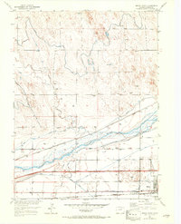
1951 Map of Brush West
USGS Topo · Published 1972About this map
The South Platte River corridor dominates this landscape, serving as the central artery for a complex network of irrigation and transport in Morgan County. In the early 1950s, the town of Brush functioned as a regional hub, evidenced by the presence of the Eben-Ezer Hospital and several rural education centers like Colwell School, Morey School, and Nelson School. The mapping reveals how water management transformed the high plains, with the Riverside Canal, Upper Platte and Beaver Canal, and Brush Lateral cutting across the terrain to support local agriculture. The influence of the railroad is clear, with the Union Pacific and Burlington Northern lines following the river's path, connecting small stops such as Dodd and Lodi to the broader market. This period captures the height of the valley's reliance on these intricate systems of ditches and rails before the modernization of the highway network fully altered the local economy.
Find a feature on this map
21 named features on this map. Tap any name to fly to it.
Don’t see what you’re looking for? This feature index may not catch every label — zoom into the map to look around manually.
Map Details
Editions of this 1951 Brush West Map
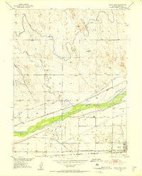
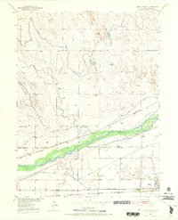
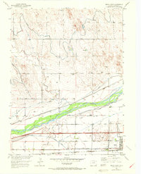
5 editions found
Other maps of this area

1951 · Dead Horse Springs
USGS Topo · 1:24,000

1951 · Brush West
USGS Topo · 1:24,000

1951 · Antelope Springs
USGS Topo · 1:24,000

1951 · Brush East
USGS Topo · 1:24,000

1951 · Peace Valley School
USGS Topo · 1:24,000

1951 · Fort Morgan
USGS Topo · 1:24,000

1954 · Sterling
USGS Topo · 1:250,000

1958 · Sterling
USGS Topo · 1:250,000

1963 · Lamb
USGS Topo · 1:24,000

1963 · Round Top
USGS Topo · 1:24,000