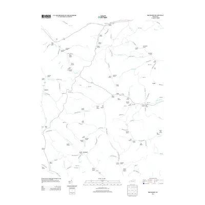
2013 Map of Brushart
USGS Topo · Published 2013About this map
Rexton and York anchor this portion of Lewis County, where the landscape is defined by an intricate network of narrow valleys and ridges. Small settlements like Brushart and Truitt are connected by winding routes such as Zion Ridge Rd and Lowder Fork Rd, following the natural contours of the land. The abundance of named hollows—including Powder Mill Hollow, Stone Coal Hollow, and Pigeon Roost Hollow—suggests a history of localized natural resource extraction and small-scale homesteading. Local family history is preserved through numerous small burial grounds, such as Veach Cem, Gillem Cem, and Rhoden Cem, which are tucked away near watercourses like Briery Fork and Schultz Cr. The map reveals a community deeply tied to its geography, with life concentrated along the forks of the major creeks.
Find a feature on this map
145 named features on this map. Tap any name to fly to it.
Don’t see what you’re looking for? This feature index may not catch every label — zoom into the map to look around manually.
Map Details
Editions of this 2013 Brushart Map
This is the sole edition of this map. No revisions or reprints were ever made.
Other maps of this area

1903 · Kenova
USGS Topo · 1:125,000

1904 · Kenova
USGS Topo · 1:125,000

1915 · Garrison
USGS Topo · 1:62,500

1918 · Garrison
USGS Topo · 1:62,500

1926 · Greenup
USGS Topo · 1:48,000

1930 · Greenup
USGS Topo · 1:62,500

1949 · Pond Run
USGS Topo · 1:24,000

1949 · Garrison
USGS Topo · 1:24,000

1949 · Friendship
USGS Topo · 1:24,000

1949 · Brushart
USGS Topo · 1:24,000