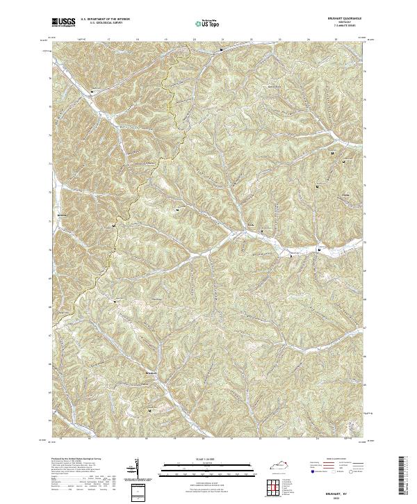
2022 Map of Brushart
USGS Topo · Published 2022About this map
The rugged divide between Lewis Co and Greenup Co defines this landscape of steep ridges and narrow hollows. Small communities like Brushart, York, and Truitt serve as anchors in an area where settlement patterns are dictated by the winding drainages of White Oak Cr and Schultz Fork. The topography is marked by family-named landmarks and hollows, reflecting a long history of generational land use in the Kentucky hills.
Find a feature on this map
134 named features on this map. Tap any name to fly to it.
Don’t see what you’re looking for? This feature index may not catch every label — zoom into the map to look around manually.
Map Details
Editions of this 2022 Brushart Map
This is the sole edition of this map. No revisions or reprints were ever made.
Other maps of this area

1903 · Kenova
USGS Topo · 1:125,000

1904 · Kenova
USGS Topo · 1:125,000

1915 · Garrison
USGS Topo · 1:62,500

1918 · Garrison
USGS Topo · 1:62,500

1926 · Greenup
USGS Topo · 1:48,000

1930 · Greenup
USGS Topo · 1:62,500

1949 · Pond Run
USGS Topo · 1:24,000

1949 · Garrison
USGS Topo · 1:24,000

1949 · Friendship
USGS Topo · 1:24,000

1949 · Brushart
USGS Topo · 1:24,000