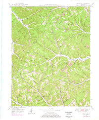
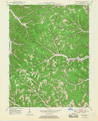
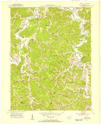
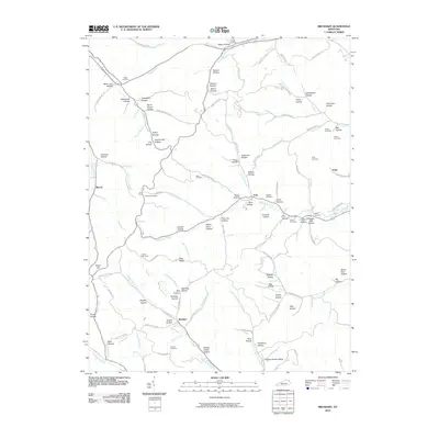
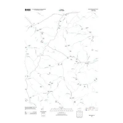
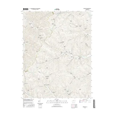
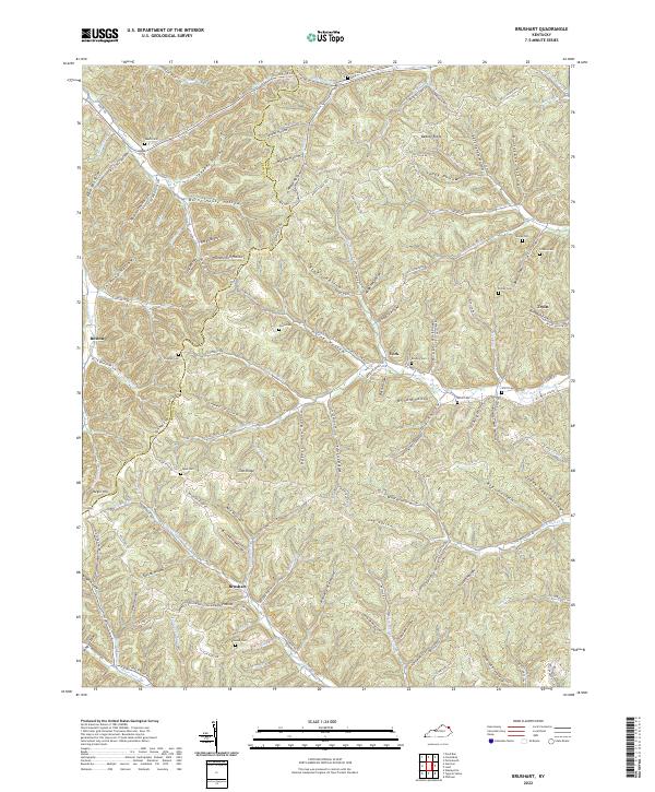
1949 Map of Brushart
USGS Topo · Published 1978About this map
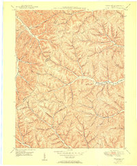
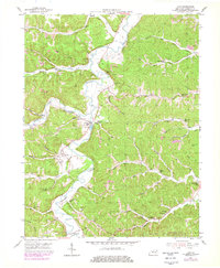
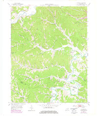
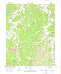
Deeply dissected ridges and hollows define the boundary between Lewis and Greenup counties, where small rural communities like York, Whiteoak, and Brushart anchor a landscape of scattered schools and family cemeteries. The topography is dominated by the prominent elevations of Beauty Ridge and Zion Ridge, which separate the drainages of Schultz Creek and Whiteoak Creek. The 1949 field data, updated with 1970s revisions, illustrates a transition from traditional Appalachian subsistence to early industrial activity, noted by a Strip Mine in the northeastern corner near Left Fk Beechy Cr.
Find a feature on this map
102 named features on this map. Tap any name to fly to it.
Don’t see what you’re looking for? This feature index may not catch every label — zoom into the map to look around manually.
Map Details
Editions of this 1949 Brushart Map
2 editions found
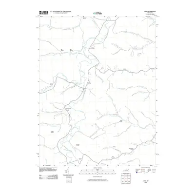
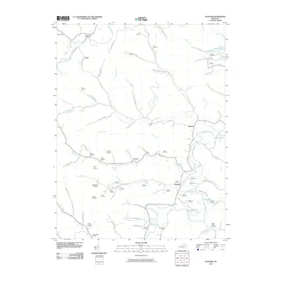
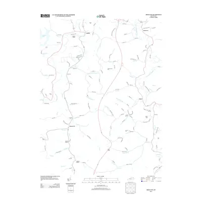
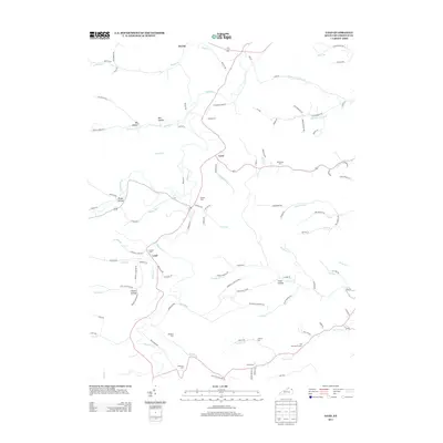
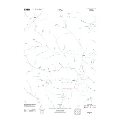
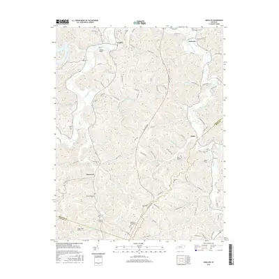
Historical Maps of York Through Time
26 maps found
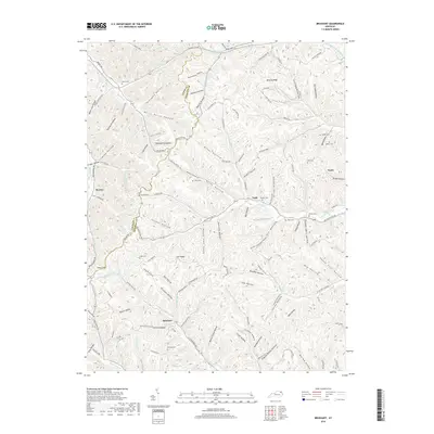
1949 Brushart
Greenup County, KY
1950 Brushart
Greenup County, KY
1953 Argillite
Greenup County, KY
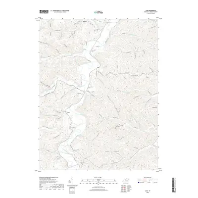
1953 Load
Greenup County, KY
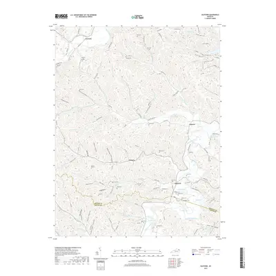
1953 Oldtown
Greenup County, KY
1972 Argillite
Greenup County, KY
2010 Argillite
Greenup County, KY
2010 Brushart
Greenup County, KY
2010 Load
Greenup County, KY
2010 Oldtown
Greenup County, KY
2013 Argillite
Greenup County, KY
2013 Brushart
Greenup County, KY
2013 Load
Greenup County, KY
2013 Oldtown
Greenup County, KY
2016 Argillite
Greenup County, KY
2016 Brushart
Greenup County, KY
2016 Load
Greenup County, KY
2016 Oldtown
Greenup County, KY
2019 Argillite
Greenup County, KY
2019 Brushart
Greenup County, KY
2019 Load
Greenup County, KY
2019 Oldtown
Greenup County, KY
2022 Brushart
Greenup County, KY
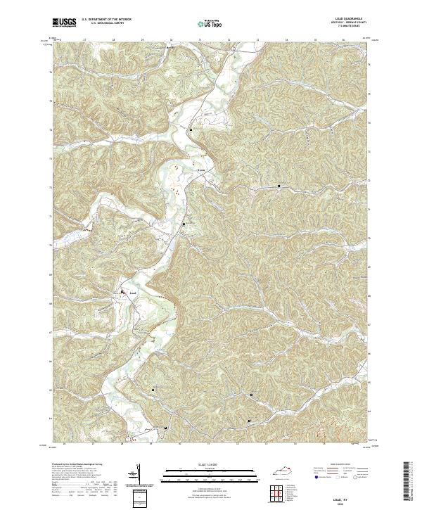
2022 Load
Greenup County, KY
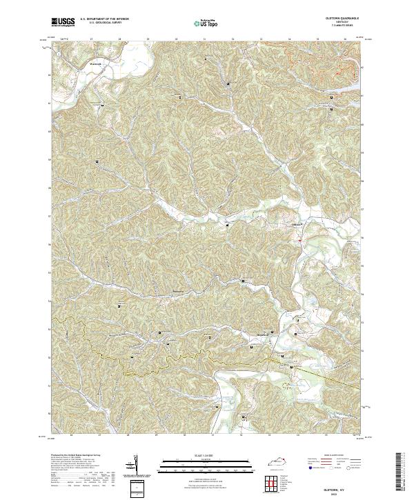
2022 Oldtown
Greenup County, KY
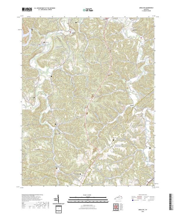
2023 Argillite
Greenup County, KY