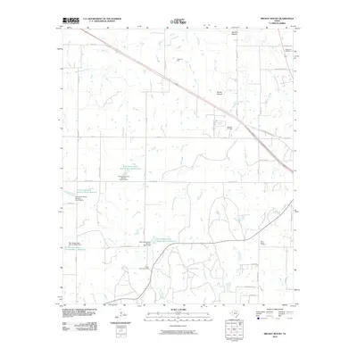
2010 Map of Brushy Mound
USGS Topo · Published 2010About this map
Brushy Mound and Dead Ox Mound rise above this rural landscape in Montague County, where the economy centers on ranching and energy extraction. The surface is characterized by numerous small-scale water management projects, including the Soil Conservation Service Site 6 Reservoir and several other containment structures like the Soil Conservation Service Site 5a Dam. These reservoirs are fed by a network of seasonal waterways such as West Belknap Creek and East Prairie Branch. Petroleum production is evident through the Anson Oil Field and Boedeker Oil Field, which are integrated into the grid of local ranch roads. Genealogists can find important family records at the McDonald Cemetery, Brier Creek Cemetery, and Prairie Branch Cemetery, which reflect the area's established rural communities. Transportation is facilitated by local routes like the Old Wichita Falls Hwy and more curiously named paths such as Bugscoffle Rd.
Find a feature on this map
47 named features on this map. Tap any name to fly to it.
Don’t see what you’re looking for? This feature index may not catch every label — zoom into the map to look around manually.
Map Details
Editions of this 2010 Brushy Mound Map
This is the sole edition of this map. No revisions or reprints were ever made.
Other maps of this area

1905 · Montague
USGS Topo · 1:125,000

1954 · Sherman
USGS Topo · 1:250,000

1954 · Wichita Falls
USGS Topo · 1:250,000

1958 · Wichita Falls
USGS Topo · 1:250,000

1958 · Sherman
USGS Topo · 1:250,000

1960 · Buzzard Roost Knob
USGS Topo · 1:24,000

1961 · Stoneburg
USGS Topo · 1:24,000

1961 · Brushy Mound
USGS Topo · 1:24,000

1961 · Selma
USGS Topo · 1:24,000

1961 · Sunset
USGS Topo · 1:24,000