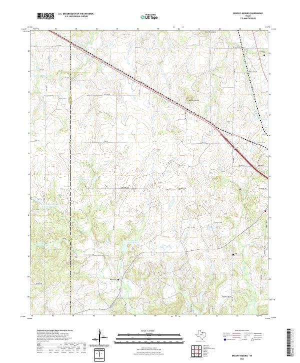
2022 Map of Brushy Mound
USGS Topo · Published 2022About this map
The rolling ranchlands along the Clay County and Montague County line are defined by a network of seasonal creeks and watershed management projects. Dead Ox Mound and Brushy Mound rise as prominent landmarks above the drainages of W Belknap Creek and Middle Belknap Creek. This 2022 survey illustrates the modern agricultural landscape, where several reservoirs like Soil Conservation Service Site 6 Reservoir and Soil Conservation Service Site 5a Reservoir have been established to manage runoff across the Prairie Branch and Trail Creek systems.
Find a feature on this map
54 named features on this map. Tap any name to fly to it.
Don’t see what you’re looking for? This feature index may not catch every label — zoom into the map to look around manually.
Map Details
Editions of this 2022 Brushy Mound Map
This is the sole edition of this map. No revisions or reprints were ever made.
Other maps of this area

1905 · Montague
USGS Topo · 1:125,000

1954 · Sherman
USGS Topo · 1:250,000

1954 · Wichita Falls
USGS Topo · 1:250,000

1958 · Wichita Falls
USGS Topo · 1:250,000

1958 · Sherman
USGS Topo · 1:250,000

1960 · Buzzard Roost Knob
USGS Topo · 1:24,000

1961 · Stoneburg
USGS Topo · 1:24,000

1961 · Brushy Mound
USGS Topo · 1:24,000

1961 · Selma
USGS Topo · 1:24,000

1961 · Sunset
USGS Topo · 1:24,000