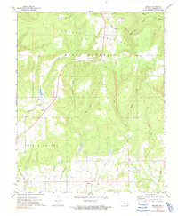
1973 Map of Brushy
USGS Topo · Published 1991About this map
Brushy Mountain and Rocky Mountain dominate the northern landscape of this Sequoyah County survey, where the terrain transitions into the creek-carved lowlands of the southern half. The map identifies the historic Home of Sequoyah, a site of immense cultural significance located near Sequoyah Cem and Big Skin Bayou. This area serves as a focal point for Cherokee history, anchoring the community of Akins and its surroundings.
Find a feature on this map
32 named features on this map. Tap any name to fly to it.
Don’t see what you’re looking for? This feature index may not catch every label — zoom into the map to look around manually.
Map Details
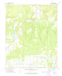
Editions of this 1973 Brushy Map
2 editions found
Other maps of this area

1898 · Tahlequah
USGS Topo · 1:125,000

1900 · Sallisaw
USGS Topo · 1:125,000

1901 · Tahlequah
USGS Topo · 1:125,000

1905 · Tahlequah
USGS Topo · 1:125,000

1911 · Sallisaw
USGS Topo · 1:125,000

1946 · Fort Smith
USGS Topo · 1:250,000

1965 · Fort Smith
USGS Topo · 1:250,000
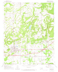
1966 · Muldrow
USGS Topo · 1:24,000

1966 · Gans
USGS Topo · 1:24,000

1967 · Fort Smith
USGS Topo · 1:250,000