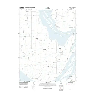
2012 Map of Brussels
USGS Topo · Published 2012About this map
Brussels sits at the heart of this narrow peninsula in southern Calhoun County, defined by its position between the Illinois River and the Mississippi River. The landscape is a mosaic of fertile bottomlands and distinctive bluffs, featuring landmarks like Goat Cliff and McAdams Peak overlooking Sixmile Slough. The distribution of small settlements such as Golden Eagle, Meppen, and Deer Plain reflects the historical reliance on river transport and local agriculture in this isolated pocket of Illinois.
Find a feature on this map
88 named features on this map. Tap any name to fly to it.
Don’t see what you’re looking for? This feature index may not catch every label — zoom into the map to look around manually.
Map Details
Editions of this 2012 Brussels Map
This is the sole edition of this map. No revisions or reprints were ever made.
Other maps of this area

1903 · O'Fallon
USGS Topo · 1:125,000

1924 · Robertson
USGS Topo · 1:24,000

1927 · St. Charles
USGS Topo · 1:62,500

1930 · Hardin
USGS Topo · 1:62,500

1930 · Jerseyville
USGS Topo · 1:62,500

1931 · Brussels
USGS Topo · 1:62,500

1933 · Jerseyville
USGS Topo · 1:62,500

1933 · Saint Charles
USGS Topo · 1:62,500

1934 · Hardin
USGS Topo · 1:62,500

1938 · Hardin
USGS Topo · 1:62,500