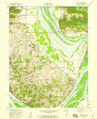
1954 Map of Brussels
USGS Topo · Published 1959About this map
Calhoun Point anchors the confluence of two of America’s greatest waterways in the mid-1950s, where the Illinois River meets the Mississippi River. The rugged interior of the peninsula is marked by high elevations such as Knolle Hill and McAdams Peak, while the lowlands are dominated by a complex network of sloughs and lakes like Swan Lake and Gilbert Lake. The settlement pattern follows the high ground of Quarry Ridge and other interior heights, where small communities like Brussels and Centerville were established with their own local institutions, including Brussels Sch and St Josephs Ch.
Find a feature on this map
63 named features on this map. Tap any name to fly to it.
Don’t see what you’re looking for? This feature index may not catch every label — zoom into the map to look around manually.
Map Details
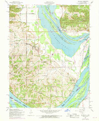
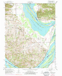
Editions of this 1954 Brussels Map
3 editions found
Other maps of this area

1903 · O'Fallon
USGS Topo · 1:125,000

1924 · Robertson
USGS Topo · 1:24,000

1927 · St. Charles
USGS Topo · 1:62,500

1930 · Hardin
USGS Topo · 1:62,500

1930 · Jerseyville
USGS Topo · 1:62,500

1931 · Brussels
USGS Topo · 1:62,500

1933 · Jerseyville
USGS Topo · 1:62,500

1933 · Saint Charles
USGS Topo · 1:62,500

1934 · Hardin
USGS Topo · 1:62,500

1938 · Hardin
USGS Topo · 1:62,500