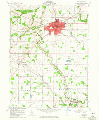
1960 Map of Bryan
USGS Topo · Published 1965About this map
Bryan serves as the focal point of this Williams County landscape, showing the city's development around the New York Central railroad and a grid of municipal landmarks including City Hall, Lincoln Sch, and Moore Park. The surrounding townships of Pulaski, Center, and Washington are defined by a network of drainage ways like Lick Creek and Little Lick Creek, which wind through a largely agricultural terrain. Outside the city, small rural clusters like Williams Center and Ney anchor the local community, while numerous family-named landmarks and cemeteries provide important clues for local history research. Genealogists will find interest in several scattered burial grounds, including Brown Cem, Fetters Cem, and Trinity Cem. The map also documents local infrastructure of the era, from a small Landing Field to several gravel pits and a network of named country roads such as Beerbower Road and Cecil Road.
Find a feature on this map
39 named features on this map. Tap any name to fly to it.
Don’t see what you’re looking for? This feature index may not catch every label — zoom into the map to look around manually.
Map Details
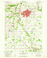
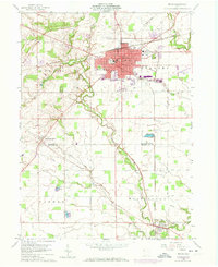
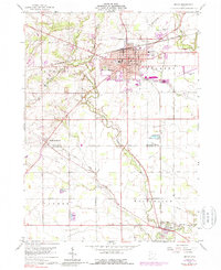
Editions of this 1960 Bryan Map
4 editions found
Other maps of this area

1907 · Defiance
USGS Topo · 1:62,500

1909 · Defiance
USGS Topo · 1:62,500

1913 · Alvordton
USGS Topo · 1:62,500

1914 · Pioneer
USGS Topo · 1:62,500

1914 · Bryan
USGS Topo · 1:62,500

1943 · Bryan
USGS Topo · 1:62,500

1944 · Pioneer
USGS Topo · 1:62,500

1944 · Alvordton
USGS Topo · 1:62,500

1953 · Fort Wayne
USGS Topo · 1:250,000

1956 · Fort Wayne
USGS Topo · 1:250,000