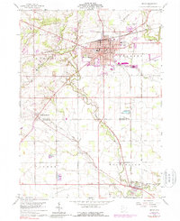
1960 Map of Bryan
USGS Topo · Published 1988About this map
Bryan serves as the focal point of this Northwest Ohio landscape, situated at the crossroads of the Penn Central railroad and a grid of rural township roads. The 1960s environment is defined by its agricultural foundations, seen in the numerous family and community burial grounds such as Brown Cemetery and Fetters Cemetery that dot the outskirts. The town itself shows significant mid-century development, including institutional landmarks like Washington School and Lincoln School.
Find a feature on this map
35 named features on this map. Tap any name to fly to it.
Don’t see what you’re looking for? This feature index may not catch every label — zoom into the map to look around manually.
Map Details
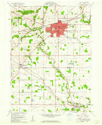
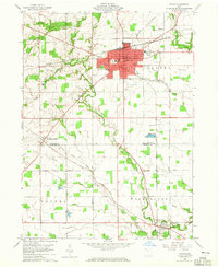
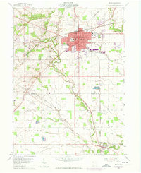
Editions of this 1960 Bryan Map
4 editions found
Other maps of this area

1907 · Defiance
USGS Topo · 1:62,500

1909 · Defiance
USGS Topo · 1:62,500

1913 · Alvordton
USGS Topo · 1:62,500

1914 · Pioneer
USGS Topo · 1:62,500

1914 · Bryan
USGS Topo · 1:62,500

1943 · Bryan
USGS Topo · 1:62,500

1944 · Pioneer
USGS Topo · 1:62,500

1944 · Alvordton
USGS Topo · 1:62,500

1953 · Fort Wayne
USGS Topo · 1:250,000

1956 · Fort Wayne
USGS Topo · 1:250,000