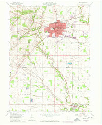
1960 Map of Bryan
USGS Topo · Published 1973About this map
The Williams County seat of Bryan dominates the northern half of this 1960s-era topographic study, shown during a period of steady mid-century expansion. The town's grid is anchored by City Hall, while local education is represented by Washington Sch and Lincoln Sch. Beyond the urban center, the landscape transitions into a patchwork of rural townships including Center, Pulaski, and Washington, where the serpentine path of Lick Creek cuts through the farmland. Evidence of 1973 updates appear in purple, highlighting new residential footprints and infrastructure like the Williams County Airport and the Drive-In Theater.
Find a feature on this map
41 named features on this map. Tap any name to fly to it.
Don’t see what you’re looking for? This feature index may not catch every label — zoom into the map to look around manually.
Map Details
Editions of this 1960 Bryan Map
4 editions found
Other maps of this area

1907 · Defiance
USGS Topo · 1:62,500

1909 · Defiance
USGS Topo · 1:62,500

1913 · Alvordton
USGS Topo · 1:62,500

1914 · Pioneer
USGS Topo · 1:62,500

1914 · Bryan
USGS Topo · 1:62,500

1943 · Bryan
USGS Topo · 1:62,500

1944 · Pioneer
USGS Topo · 1:62,500

1944 · Alvordton
USGS Topo · 1:62,500

1953 · Fort Wayne
USGS Topo · 1:250,000

1956 · Fort Wayne
USGS Topo · 1:250,000