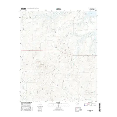
2016 Map of Bryans Mill
USGS Topo · Published 2016About this map
Cusseta Mountains rise as a prominent landform in this portion of Cass County, overlooking the small settlement of Cusseta. The landscape is defined by a dense network of creek drainages, including Whatley Cr, Black Cr, and Powell Cr, which flow through the timbered terrain toward the northeast. This 2016 survey captures the rural character of the region, where land use is a mix of natural drainage basins and oil industry infrastructure, evidenced by the presence of the Shell Oil Co Rd. For those researching local heritage, the map identifies several established burial sites such as Pleasant Hill Cem, Powell Cem, Floyd Hill Cem, and Lambert Cem, which are scattered among the ridges and winding county roads. The northern edge of the map shows the transition into the wetlands surrounding Wright Patman Lake, indicating the proximity to larger water management systems in East Texas.
Find a feature on this map
49 named features on this map. Tap any name to fly to it.
Don’t see what you’re looking for? This feature index may not catch every label — zoom into the map to look around manually.
Map Details
Editions of this 2016 Bryans Mill Map
This is the sole edition of this map. No revisions or reprints were ever made.
Other maps of this area
1909 · New Boston
USGS Topo · 1:62,500
1910 · Linden
USGS Topo · 1:62,500
1914 · Daingerfield
USGS Topo · 1:62,500
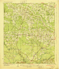
1930 · Bassett
USGS Topo · 1:62,500

1953 · Texarkana
USGS Topo · 1:250,000
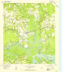
1955 · Corley
USGS Topo · 1:24,000
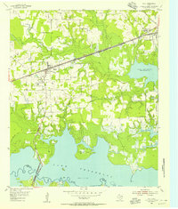
1955 · Maud
USGS Topo · 1:24,000
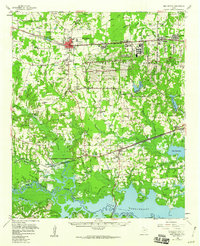
1955 · New Boston
USGS Topo · 1:62,500
1956 · Texarkana
USGS Topo · 1:250,000
1965 · Marietta
USGS Topo · 1:24,000