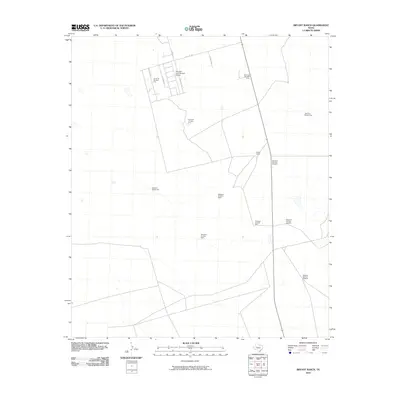
2010 Map of Bryant Ranch
USGS Topo · Published 2010About this map
Bryant Ranch and the surrounding rangeland south of Midland define this 2010 landscape, where the traditional cattle economy meets specialized infrastructure. The map reveals a highly structured environment of water management, punctuated by a series of numbered landmarks such as Windmill Number Nineteen, Windmill Number Ten, and Windmill Number Five. These features, essential for livestock in the arid Permian Basin, are scattered across a grid of county roads including S Midkiff Rd and W Co Rd 180.
Find a feature on this map
19 named features on this map. Tap any name to fly to it.
Don’t see what you’re looking for? This feature index may not catch every label — zoom into the map to look around manually.
Map Details
Editions of this 2010 Bryant Ranch Map
This is the sole edition of this map. No revisions or reprints were ever made.
Other maps of this area

1954 · Pecos
USGS Topo · 1:250,000

1954 · San Angelo
USGS Topo · 1:250,000

1957 · Pecos
USGS Topo · 1:250,000

1958 · San Angelo
USGS Topo · 1:250,000

1964 · Bryant Ranch
USGS Topo · 1:24,000

1964 · Parks
USGS Topo · 1:24,000

1965 · San Angelo
USGS Topo · 1:250,000

1965 · Southeast Midland
USGS Topo · 1:24,000

1965 · Salt Lake
USGS Topo · 1:24,000

1965 · Southwest Midland
USGS Topo · 1:24,000