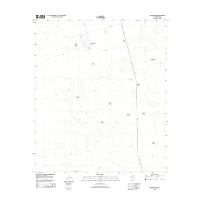
2014 Map of Bryant Ranch
USGS Topo · Published 2014About this map
Bryant Ranch sits as a central landmark in this portion of Midland County, where the landscape is defined by the vital infrastructure of West Texas ranching. The distribution of numerous water sources, including Windmill Number Three, Windmill Number Five, and Windmill Number Ten, underscores the necessity of groundwater in this arid environment. The terrain is marked by the course of Johnson Draw, which winds through the southern portion of the quadrangle, likely serving as a seasonal drainage point. Transportation and commerce are represented by a network of county roads such as W CR-180 and TX-349, which provide access to the rural homesteads and the Skywest Airport Inc. facility. This survey provides a clear view of the organized spacing of pastoral resources and the modern aviation facilities that support this ranching community.
Find a feature on this map
22 named features on this map. Tap any name to fly to it.
Don’t see what you’re looking for? This feature index may not catch every label — zoom into the map to look around manually.
Map Details
Editions of this 2014 Bryant Ranch Map
This is the sole edition of this map. No revisions or reprints were ever made.
Other maps of this area

1954 · Pecos
USGS Topo · 1:250,000
1954 · San Angelo
USGS Topo · 1:250,000
1957 · Pecos
USGS Topo · 1:250,000
1958 · San Angelo
USGS Topo · 1:250,000
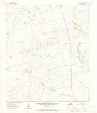
1964 · Bryant Ranch
USGS Topo · 1:24,000
1964 · Parks
USGS Topo · 1:24,000
1965 · San Angelo
USGS Topo · 1:250,000
1965 · Southeast Midland
USGS Topo · 1:24,000
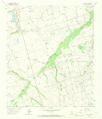
1965 · Salt Lake
USGS Topo · 1:24,000
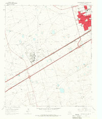
1965 · Southwest Midland
USGS Topo · 1:24,000