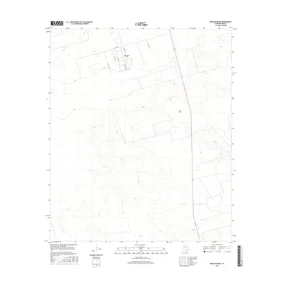
2016 Map of Bryant Ranch
USGS Topo · Published 2016About this map
Bryant Ranch serves as the namesake landmark for this portion of the Permian Basin, where the vast, open terrain is defined by a grid of county roads and essential infrastructure. The landscape reveals the practical development of West Texas at the start of the 21st century, centered on the intersection of State Highway 349 and several lateral routes such as W Co Rd 180 and W Co Rd 185.
Find a feature on this map
10 named features on this map. Tap any name to fly to it.
Don’t see what you’re looking for? This feature index may not catch every label — zoom into the map to look around manually.
Map Details
Editions of this 2016 Bryant Ranch Map
This is the sole edition of this map. No revisions or reprints were ever made.
Other maps of this area

1954 · Pecos
USGS Topo · 1:250,000
1954 · San Angelo
USGS Topo · 1:250,000
1957 · Pecos
USGS Topo · 1:250,000
1958 · San Angelo
USGS Topo · 1:250,000
1964 · Bryant Ranch
USGS Topo · 1:24,000
1964 · Parks
USGS Topo · 1:24,000
1965 · San Angelo
USGS Topo · 1:250,000
1965 · Southeast Midland
USGS Topo · 1:24,000
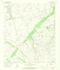
1965 · Salt Lake
USGS Topo · 1:24,000
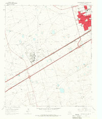
1965 · Southwest Midland
USGS Topo · 1:24,000