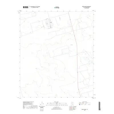
2019 Map of Bryant Ranch
USGS Topo · Published 2019About this map
Bryant Ranch and its surrounding acreage define this portion of Midland County, reflecting the transition of the West Texas landscape from traditional ranching to contemporary land uses. The terrain is marked by a network of county roads including W Co Rd 180 and S Co Rd 1200, which provide access across the dry, rolling topography characteristic of the Permian Basin. Private aviation infrastructure is evident with the Skywest Inc Airport, located just north of the ranch and west of Highway 349. This 2019 survey documents the modern layout of rural homesteads and agricultural tracts, where the industrial influence of the oil-rich region is reflected in the precise grid of secondary roads like S Co Rd 1214 and S Co Rd 1213 that segment the plains.
Find a feature on this map
10 named features on this map. Tap any name to fly to it.
Don’t see what you’re looking for? This feature index may not catch every label — zoom into the map to look around manually.
Map Details
Editions of this 2019 Bryant Ranch Map
This is the sole edition of this map. No revisions or reprints were ever made.
Other maps of this area

1954 · Pecos
USGS Topo · 1:250,000

1954 · San Angelo
USGS Topo · 1:250,000

1957 · Pecos
USGS Topo · 1:250,000

1958 · San Angelo
USGS Topo · 1:250,000

1964 · Bryant Ranch
USGS Topo · 1:24,000

1964 · Parks
USGS Topo · 1:24,000

1965 · San Angelo
USGS Topo · 1:250,000

1965 · Southeast Midland
USGS Topo · 1:24,000

1965 · Salt Lake
USGS Topo · 1:24,000

1965 · Southwest Midland
USGS Topo · 1:24,000