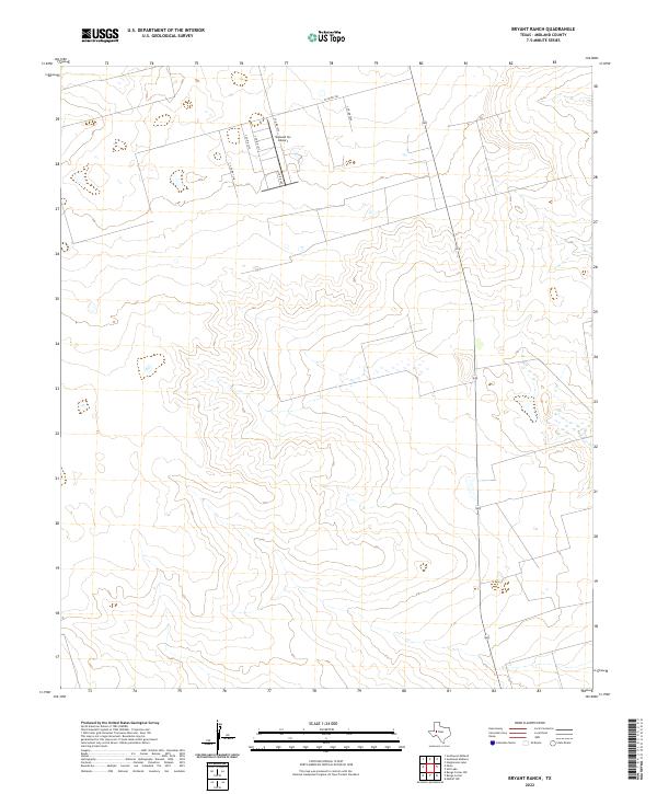
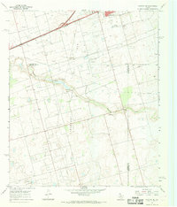
2022 Map of Bryant Ranch
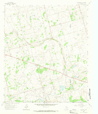
USGS Topo · Published 2022This historical map portrays the area of Bryant Ranch in 2022, primarily covering Midland County. Featuring a scale of 1:24000, this map provides a highly detailed snapshot of the terrain, roads, buildings, counties, and historical landmarks in the Bryant Ranch region at the time. Published in 2022, it is the sole known edition of this map.
Map Details
Editions of this 2022 Bryant Ranch Map
This is the sole edition of this map. No revisions or reprints were ever made.
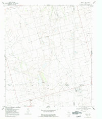
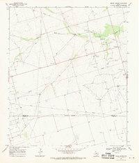
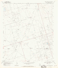
Historical Maps of Irvin South Through Time
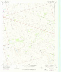
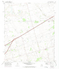
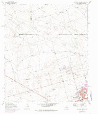
32 maps found
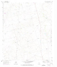
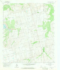
1964 Bryans Ranch
Midland County, TX
1964 Parks
Midland County, TX
1965 Northeast Midland
Midland County, TX
1965 Pecks Lake
Midland County, TX
1965 Salt Lake
Midland County, TX
1965 Southeast Midland
Midland County, TX
1965 Southwest Midland
Midland County, TX
1965 Spraberry
Midland County, TX
1965 Stephenson Lake
Midland County, TX
1966 Germania
Midland County, TX
1966 Northwest Midland
Midland County, TX
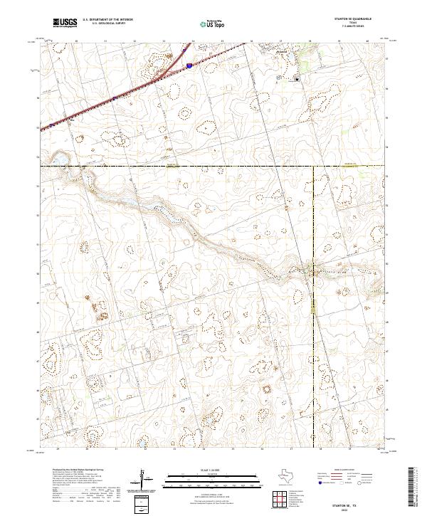
1966 Stanton SE
Midland County, TX
1967 Midkiff
Midland County, TX
1968 Benge Corner
Midland County, TX
1968 Benge Corner NW
Midland County, TX

1968 Midkiff NW
Midland County, TX
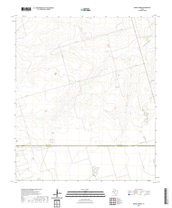
2022 Benge Corner
Midland County, TX
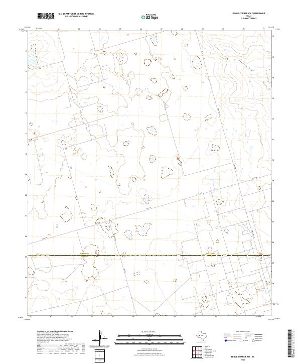
2022 Benge Corner NW
Midland County, TX
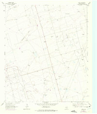
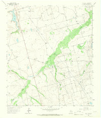
2022 Bryant Ranch
Midland County, TX
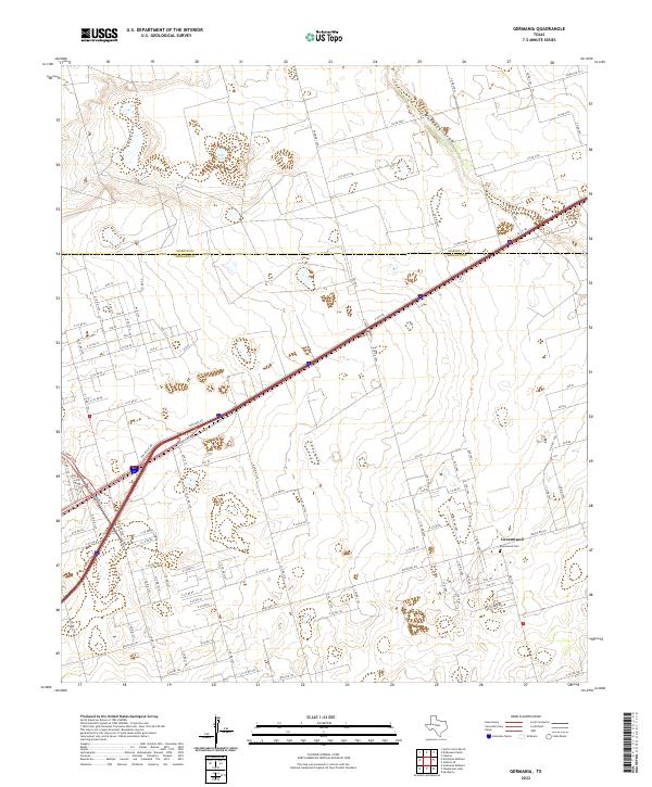
2022 Germania
Midland County, TX
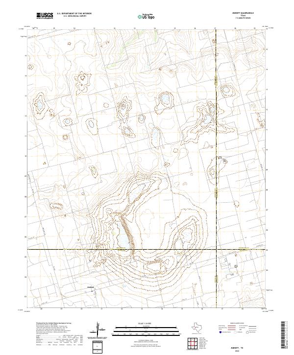
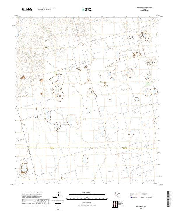
2022 Midkiff
Midland County, TX
2022 Midkiff NW
Midland County, TX
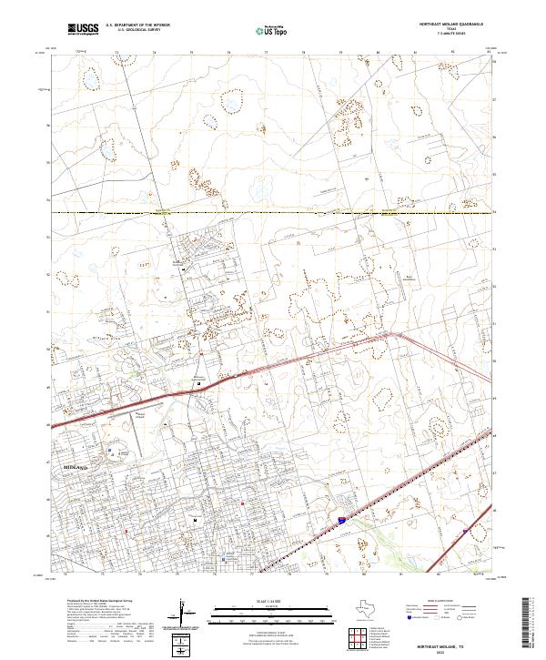
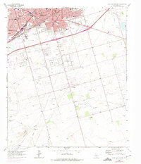
2022 Northeast Midland
Midland County, TX
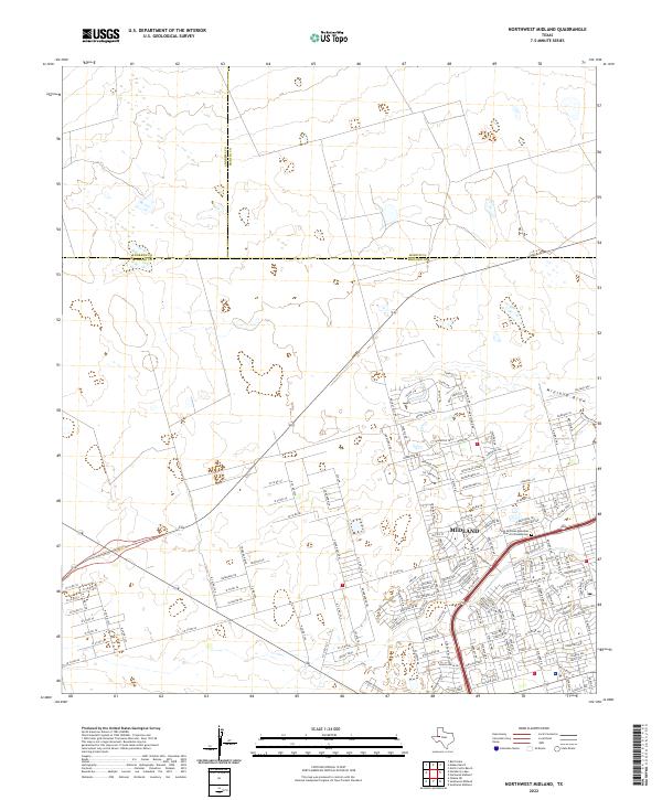
2022 Northwest Midland
Midland County, TX
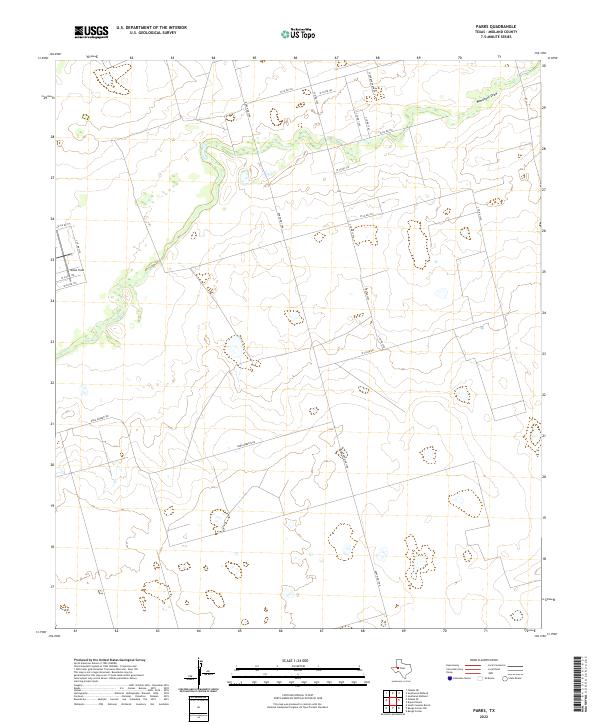
2022 Parks
Midland County, TX
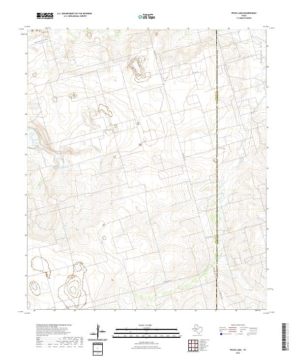
2022 Pecks Lake
Midland County, TX
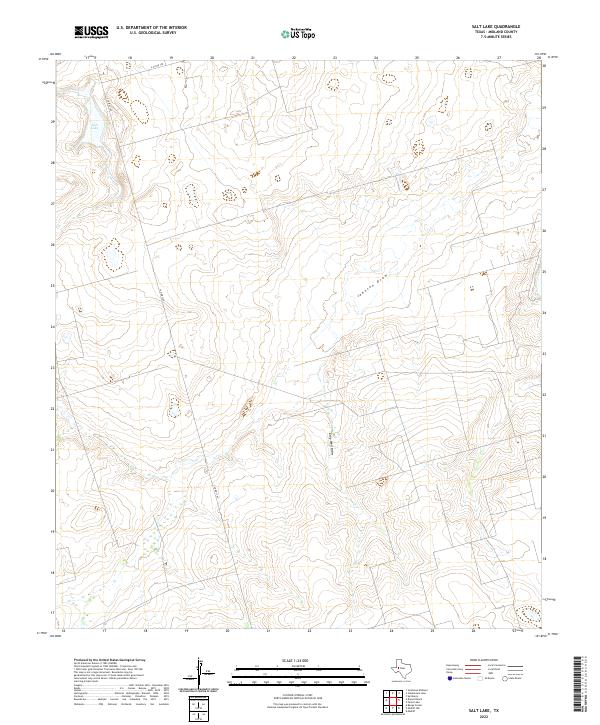
2022 Salt Lake
Midland County, TX
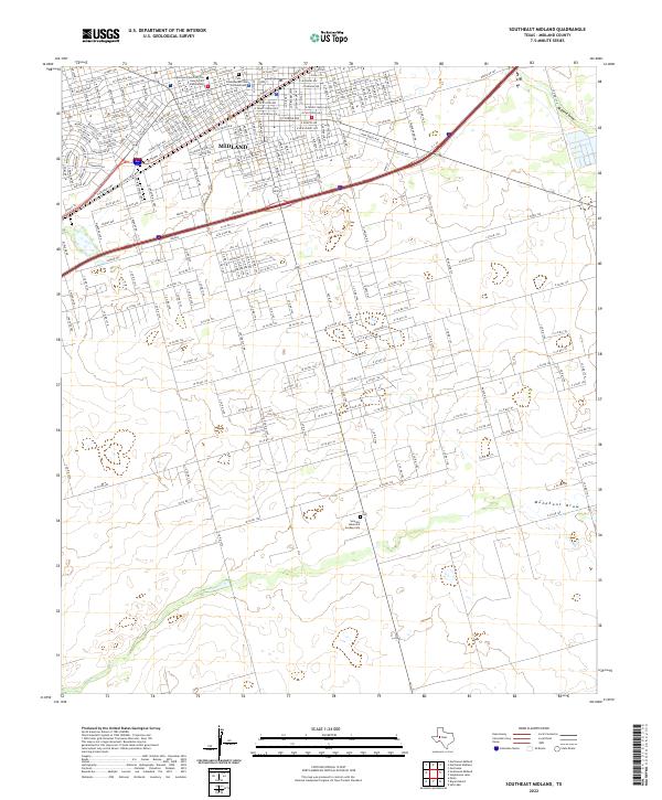
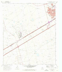
2022 Southeast Midland
Midland County, TX

2022 Southwest Midland
Midland County, TX
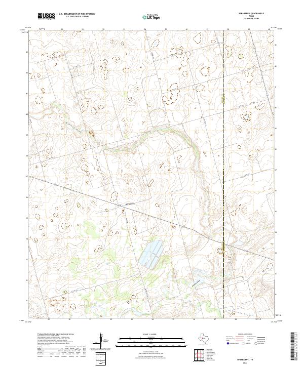
2022 Spraberry
Midland County, TX
2022 Stanton SE
Midland County, TX
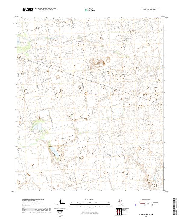
2022 Stephenson Lake
Midland County, TX