
1952 Map of Bryantsville
USGS Topo · Published 1953About this map
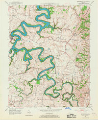
Herrington Lake dominates this 1952 topographic study, winding through the deeply etched channel of the Dix River at the meeting of Garrard, Mercer, and Boyle counties. The shoreline is characterized by sharp meanders and significant islands like Dunn Island and Gwing Island, reflecting the altered landscape following the damming of the river. Away from the water, the terrain rises to landmarks like Burdette Knob and is crisscrossed by historic routes including the Wilderness Trail.
Find a feature on this map
36 named features on this map. Tap any name to fly to it.
Don’t see what you’re looking for? This feature index may not catch every label — zoom into the map to look around manually.
Map Details
Editions of this 1952 Bryantsville Map
3 editions found
Other maps of this area

1905 · Harrodsburg
USGS Topo · 1:125,000

1950 · Bryantsville
USGS Topo · 1:24,000

1952 · Little Hickman
USGS Topo · 1:24,000

1952 · Buckeye
USGS Topo · 1:24,000

1952 · Danville
USGS Topo · 1:24,000

1952 · Harrodsburg
USGS Topo · 1:24,000

1952 · Lancaster
USGS Topo · 1:24,000

1952 · Stanford
USGS Topo · 1:24,000
1952 · Wilmore
USGS Topo · 1:24,000

1952 · Junction City
USGS Topo · 1:24,000