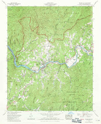
1961 Map of Bryson City
USGS Topo · Published 1971About this map
Bryson City serves as the focal point of this 1961 survey, situated at the confluence of the Tuckasegee River and Deep Creek. The landscape is a complex intersection of federal and tribal lands, where the Great Smoky Mountains National Park meets the Nantahala National Forest and the Cherokee Indian Reservation, including the Qualla Tract.
Find a feature on this map
135 named features on this map. Tap any name to fly to it.
Don’t see what you’re looking for? This feature index may not catch every label — zoom into the map to look around manually.
Map Details
Editions of this 1961 Bryson City Map
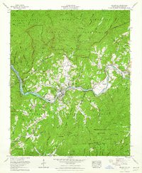
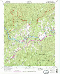
Other maps of this area

1886 · Knoxville
USGS Topo · 1:125,000

1891 · Cowee
USGS Topo · 1:125,000

1892 · Knoxville
USGS Topo · 1:125,000

1893 · Mt Guyot
USGS Topo · 1:125,000

1894 · Knoxville
USGS Topo · 1:125,000

1895 · Knoxville
USGS Topo · 1:125,000

1897 · Cowee
USGS Topo · 1:125,000

1901 · Knoxville
USGS Topo · 1:125,000

1907 · Cowee
USGS Topo · 1:125,000

1912 · Mt Guyot
USGS Topo · 1:125,000