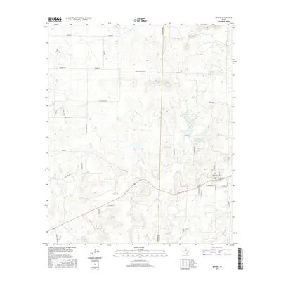
2016 Map of Bryson
USGS Topo · Published 2016About this map
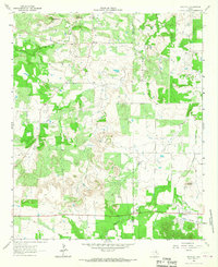
Bryson serves as the primary hub in this portion of North Texas, situated along the county line where Young County and Jack County meet. The town's grid is detailed with streets like W Dempsey St and N College Ave, centered near the local transportation corridors. The surrounding landscape is defined by its water management and drainage systems, featuring significant bodies of water such as Lake Bryson, McCloud Lake, and Bryson Lake.
Find a feature on this map
55 named features on this map. Tap any name to fly to it.
Don’t see what you’re looking for? This feature index may not catch every label — zoom into the map to look around manually.
Map Details
Editions of this 2016 Bryson Map
This is the sole edition of this map. No revisions or reprints were ever made.
Other maps of this area
1924 · Graham 4-d
USGS Topo · 1:48,000
1927 · Graham
USGS Topo · 1:62,500

1954 · Wichita Falls
USGS Topo · 1:250,000

1958 · Wichita Falls
USGS Topo · 1:250,000
1964 · Senate
USGS Topo · 1:24,000
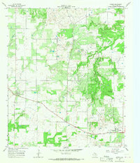
1964 · Loving
USGS Topo · 1:24,000
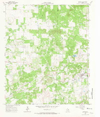
1964 · Bryson
USGS Topo · 1:24,000
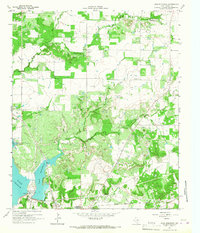
1964 · Lake Eddleman
USGS Topo · 1:24,000
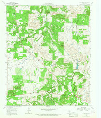
1964 · Lynn Creek
USGS Topo · 1:24,000
1964 · Markley
USGS Topo · 1:24,000