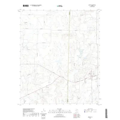
2019 Map of Bryson
USGS Topo · Published 2019About this map
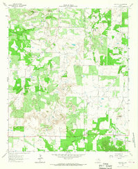
Bryson serves as the primary hub for this portion of North Texas, situated along a prominent east-west highway corridor. The landscape is defined by its watershed, including the upper reaches of Cameron Cr and the complex drainage of W Rock Cr, which feeds into local reservoirs like Lake Bryson. Family names and local history are etched into the road network, with routes such as Gahagan Corner Rd, Rooters Mountain Rd, and McEntire Rd linking scattered homesites and agricultural properties across the Young Co Jack Co line.
Find a feature on this map
51 named features on this map. Tap any name to fly to it.
Don’t see what you’re looking for? This feature index may not catch every label — zoom into the map to look around manually.
Map Details
Editions of this 2019 Bryson Map
This is the sole edition of this map. No revisions or reprints were ever made.
Other maps of this area
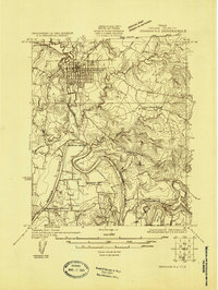
1924 · Graham 4-d
USGS Topo · 1:48,000
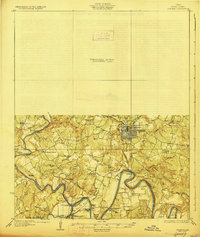
1927 · Graham
USGS Topo · 1:62,500

1954 · Wichita Falls
USGS Topo · 1:250,000

1958 · Wichita Falls
USGS Topo · 1:250,000
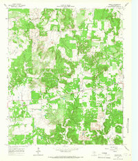
1964 · Senate
USGS Topo · 1:24,000
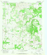
1964 · Loving
USGS Topo · 1:24,000
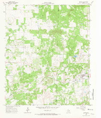
1964 · Bryson
USGS Topo · 1:24,000
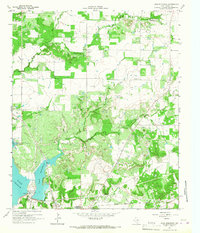
1964 · Lake Eddleman
USGS Topo · 1:24,000
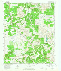
1964 · Lynn Creek
USGS Topo · 1:24,000
1964 · Markley
USGS Topo · 1:24,000