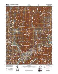
2011 Map of Buchanan
USGS Topo · Published 2011About this map
Buchanan occupies a critical bend where the James River snakes between the high ridges of Purgatory Mountain and the Short Hills. This 2011 topographic record shows the settlement's relationship to the water, centered around the Buchanan Post Office and connected to the north by the Springwood Truss Bridge. The landscape is defined by its gaps and spurs, such as Cartmell Gap and Green Spur, which have historically dictated the passage of roads and travelers through this part of Botetourt County.
Find a feature on this map
65 named features on this map. Tap any name to fly to it.
Don’t see what you’re looking for? This feature index may not catch every label — zoom into the map to look around manually.
Map Details
Editions of this 2011 Buchanan Map
This is the sole edition of this map. No revisions or reprints were ever made.
Other maps of this area

1890 · Roanoke
USGS Topo · 1:125,000

1891 · Roanoke
USGS Topo · 1:125,000

1894 · Natural Bridge
USGS Topo · 1:125,000

1894 · Natural Bridge
USGS Topo · 1:62,500

1907 · Natural Bridge Special
USGS Topo · 1:62,500

1913 · Eagle Rock
USGS Topo · 1:48,000

1915 · Eagle Rock
USGS Topo · 1:62,500

1929 · Roanoke
USGS Topo · 1:48,000

1933 · Roanoke
USGS Topo · 1:62,500

1947 · Roanoke
USGS Topo · 1:250,000