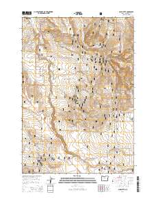
2014 Map of Buck Butte
USGS Topo · Published 2014About this map
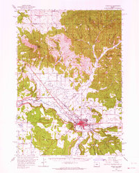
Crooked River National Grassland dominates this central Oregon landscape, showing the complex boundary lines between public land and private property just southeast of Madras. This 2014 survey reveals a high-desert environment defined by seasonal hydrology and volcanic topography, centered on the prominent Buck Butte and the deep incision of Wagonblast Canyon. The map records a vast network of forest roads, including Nat For Dev Rd 1176 and Nat For Dev Rd 1175, which provide access to the various springs that serve as critical water points in this arid region. These include family-named and geographical water sources such as Larson Spring, North Combs Spring, and Juniper Spring. The drainage patterns of Willow Cr and Gray Butte Cr illustrate the watershed's flow toward the Deschutes basin, while named routes like the Madras Hwy and SE Baldwin Dr highlight the modern rural infrastructure at the edge of the grassland.
Find a feature on this map
45 named features on this map. Tap any name to fly to it.
Don’t see what you’re looking for? This feature index may not catch every label — zoom into the map to look around manually.
Map Details
Editions of this 2014 Buck Butte Map
This is the sole edition of this map. No revisions or reprints were ever made.
Other maps of this area
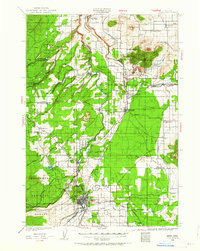
1926 · Bend
USGS Topo · 1:125,000
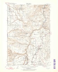
1928 · Madras
USGS Topo · 1:125,000
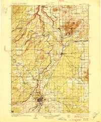
1929 · Bend
USGS Topo · 1:125,000
1931 · Madras
USGS Topo · 1:125,000

1955 · Bend
USGS Topo · 1:250,000

1957 · Bend
USGS Topo · 1:250,000
1958 · Bend
USGS Topo · 1:250,000
1962 · Opal City
USGS Topo · 1:24,000
1962 · Gray Butte
USGS Topo · 1:24,000
1962 · Prineville
USGS Topo · 1:62,500