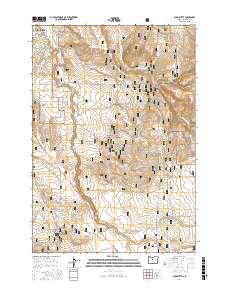
2017 Map of Buck Butte
USGS Topo · Published 2017About this map
The Crooked River National Grassland dominates this high-desert landscape south of Madras, where the high plateaus of Jefferson County are carved by steep-walled drainages and canyons. The terrain is defined by dramatic elevation changes, notably at Buck Butte and through the depths of Dewies Canyon and Wagonblast Canyon. This 2017 survey reveals a complex network of seasonal water sources and springs, including Juniper Spring, Larson Spring, and Cottonwood Spring, which are critical features in this arid environment. The map details a transition from the agricultural and residential outskirts of Madras, marked by roads like SE Grizzly Rd and SE Dover Ln, into the managed public lands of the national grassland. A labyrinth of forest service routes, such as Nat For Dev Rd 1175, provides access to the backcountry between Willow Cr and Mud Springs Cr.
Find a feature on this map
45 named features on this map. Tap any name to fly to it.
Don’t see what you’re looking for? This feature index may not catch every label — zoom into the map to look around manually.
Map Details
Editions of this 2017 Buck Butte Map
This is the sole edition of this map. No revisions or reprints were ever made.
Other maps of this area
1926 · Bend
USGS Topo · 1:125,000
1928 · Madras
USGS Topo · 1:125,000
1929 · Bend
USGS Topo · 1:125,000
1931 · Madras
USGS Topo · 1:125,000
1955 · Bend
USGS Topo · 1:250,000
1957 · Bend
USGS Topo · 1:250,000
1958 · Bend
USGS Topo · 1:250,000
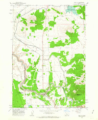
1962 · Opal City
USGS Topo · 1:24,000
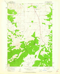
1962 · Gray Butte
USGS Topo · 1:24,000
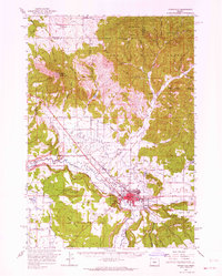
1962 · Prineville
USGS Topo · 1:62,500