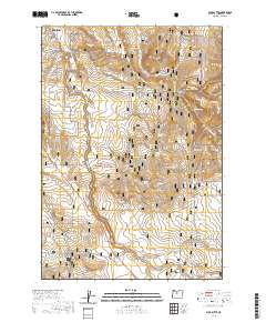
2020 Map of Buck Butte
USGS Topo · Published 2020About this map
Madras serves as the northern anchor for this high desert landscape in Jefferson County, where modern residential development along SE McTaggart Rd meets the open expanse of the Crooked River National Grassland. The terrain is defined by the sharp verticality of Buck Butte and the deep incisions of Wagonblast Canyon and Dewies Canyon. This 2020 survey illustrates a complex hydrological network of ephemeral drainages and vital water sources that have historically supported life in this arid region, including Cottonwood Spring, Juniper Spring, and McMeen Spring. The drainage of Willow Cr dominates the central valley, while the southern reaches are marked by the rugged descent into Gray Butte Cr. The map captures the interface between the growing rural-residential grid and the protected federal lands, showing how roads like SE Rancho Ln transition into the managed wilderness of the grassland.
Find a feature on this map
31 named features on this map. Tap any name to fly to it.
Don’t see what you’re looking for? This feature index may not catch every label — zoom into the map to look around manually.
Map Details
Editions of this 2020 Buck Butte Map
This is the sole edition of this map. No revisions or reprints were ever made.
Other maps of this area
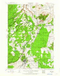
1926 · Bend
USGS Topo · 1:125,000
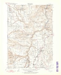
1928 · Madras
USGS Topo · 1:125,000
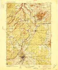
1929 · Bend
USGS Topo · 1:125,000
1931 · Madras
USGS Topo · 1:125,000
1955 · Bend
USGS Topo · 1:250,000
1957 · Bend
USGS Topo · 1:250,000
1958 · Bend
USGS Topo · 1:250,000
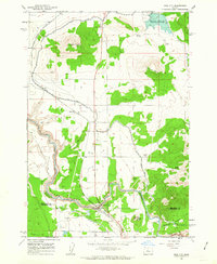
1962 · Opal City
USGS Topo · 1:24,000
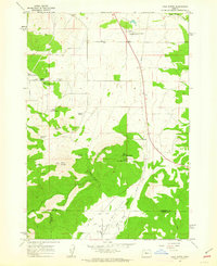
1962 · Gray Butte
USGS Topo · 1:24,000
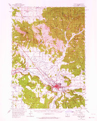
1962 · Prineville
USGS Topo · 1:62,500