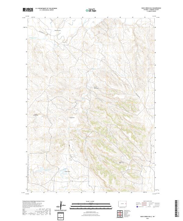
2021 Map of Buck Creek Hills
USGS Topo · Published 2021About this map
Buck Creek Hills define this corner of Niobrara County, where a complex network of dry draws and seasonal creek beds dictates the layout of the high plains. The landscape is characterized by its vital water management infrastructure, notably Johnson Number 1 Reservoir and Johnson Number 3 Reservoir, which serve as critical hubs in an otherwise arid environment. These reservoirs, along with Narrows Reservoir, indicate a history of land use focused on livestock and resource management.
Find a feature on this map
18 named features on this map. Tap any name to fly to it.
Don’t see what you’re looking for? This feature index may not catch every label — zoom into the map to look around manually.
Map Details
Editions of this 2021 Buck Creek Hills Map
This is the sole edition of this map. No revisions or reprints were ever made.
Other maps of this area

1955 · Newcastle
USGS Topo · 1:250,000

1958 · Newcastle
USGS Topo · 1:250,000

1981 · Telephone Draw
USGS Topo · 1:24,000
1981 · Rabbit Mountains
USGS Topo · 1:24,000
1981 · Coyote Gap
USGS Topo · 1:24,000
1981 · Redbird
USGS Topo · 1:24,000
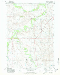
1981 · Bowen Flat
USGS Topo · 1:24,000
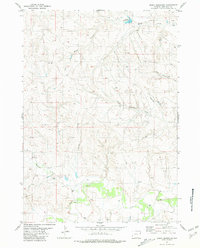
1981 · Boggy Reservoir
USGS Topo · 1:24,000
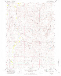
1981 · Funny Rock
USGS Topo · 1:24,000
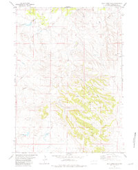
1981 · Buck Creek Hills
USGS Topo · 1:24,000