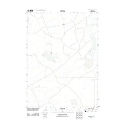
2012 Map of Buck Draw
USGS Topo · Published 2012About this map
Mud Lake Flats dominates the central portion of this 2012 survey, illustrating a landscape defined by intermittent water and wide-open drainage patterns in Sweetwater County. The terrain is marked by the passage of Separation Cr, which meanders through the eastern section of the quadrangle. This area of Wyoming is characterized by its sparse infrastructure, where travel is dictated by a few primary routes such as Stratton Rd and Co Rd-3202. The map provides a clear look at the hydraulic layout of the region, showing how seasonal water features and drainage channels interact with the high desert environment before modern development. It is an essential document for understanding the physical geography and ranching access routes in this part of the state during the early 21st century.
Find a feature on this map
5 named features on this map. Tap any name to fly to it.
Don’t see what you’re looking for? This feature index may not catch every label — zoom into the map to look around manually.
Map Details
Editions of this 2012 Buck Draw Map
This is the sole edition of this map. No revisions or reprints were ever made.
Other maps of this area

1954 · Rawlins
USGS Topo · 1:250,000

1955 · Casper
USGS Topo · 1:250,000
1956 · Rawlins Peak
USGS Topo · 1:62,500
1958 · Rawlins
USGS Topo · 1:250,000

1958 · Casper
USGS Topo · 1:250,000
1960 · Larsen Knoll
USGS Topo · 1:24,000
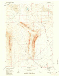
1960 · Separation Rim
USGS Topo · 1:24,000
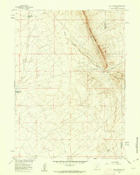
1960 · Bull Springs
USGS Topo · 1:24,000
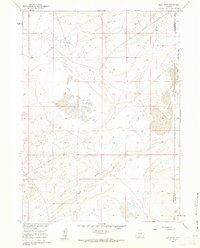
1960 · Buck Draw
USGS Topo · 1:24,000
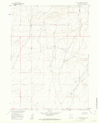
1960 · Chicken Spring
USGS Topo · 1:24,000