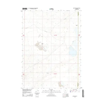
2015 Map of Buck Draw
USGS Topo · Published 2015About this map
Buck Draw and the surrounding high desert terrain of Sweetwater County are defined by a network of seasonal water features and expansive basins. In this arid region, the landscape transitions between the broad Separation Flats to the north and the cluster of Mahoney Lakes in the east. The presence of Mud Lake Flats indicates the transient nature of water in this environment, where drainage patterns are often subtle and dependent on seasonal runoff. Human infrastructure is minimal, represented primarily by Co Road 3202, which provides one of the few managed access points through the township and range divisions. This survey captures the intersection of Sweetwater and Carbon counties, illustrating a sparsely populated area where natural landforms like the Buck Draw drainage dictate the local geography.
Find a feature on this map
12 named features on this map. Tap any name to fly to it.
Don’t see what you’re looking for? This feature index may not catch every label — zoom into the map to look around manually.
Map Details
Editions of this 2015 Buck Draw Map
This is the sole edition of this map. No revisions or reprints were ever made.
Other maps of this area

1954 · Rawlins
USGS Topo · 1:250,000

1955 · Casper
USGS Topo · 1:250,000
1956 · Rawlins Peak
USGS Topo · 1:62,500
1958 · Rawlins
USGS Topo · 1:250,000

1958 · Casper
USGS Topo · 1:250,000
1960 · Larsen Knoll
USGS Topo · 1:24,000
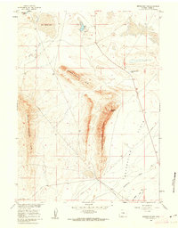
1960 · Separation Rim
USGS Topo · 1:24,000
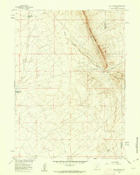
1960 · Bull Springs
USGS Topo · 1:24,000
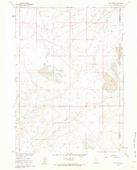
1960 · Buck Draw
USGS Topo · 1:24,000
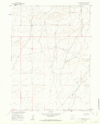
1960 · Chicken Spring
USGS Topo · 1:24,000