
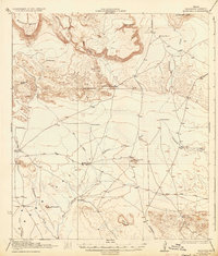
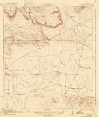
1925 Map of Buck Hill
USGS Topo · Published 1925About this map
The high-desert terrain of Brewster County is defined here by the confluence of drainage systems and isolated cattle-ranching outposts. Elephant Mtn and the massive Mitchell Mesa overlook a landscape where water sources dictated settlement patterns during the early twentieth century. Important stopping points and homesteads such as the Kokernot Ranch, Sid Place, and Wilsons Ranch are situated near vital water features like Calamity Creek and Duff Springs. The map reveals a transition in land use, noting Low Place (Abandoned) while highlighting the critical role of mechanical water extraction through features like Brush Windmill and Cobas Windmill. This survey, conducted in cooperation with the War Department, meticulously tracks the dry washes and draws that connect the southern Trans-Pecos region toward Terlingua.
Find a feature on this map
33 named features on this map. Tap any name to fly to it.
Don’t see what you’re looking for? This feature index may not catch every label — zoom into the map to look around manually.
Map Details
Editions of this 1925 Buck Hill Map
3 editions found
Other maps of this area

1895 · Alpine
USGS Topo · 1:125,000

1917 · Agua Fria
USGS Topo · 1:62,500

1917 · Tascotal Mesa
USGS Topo · 1:62,500

1917 · Santiago Peak
USGS Topo · 1:62,500

1917 · Buck Hill
USGS Topo · 1:62,500

1918 · Bone Spring
USGS Topo · 1:125,000

1918 · Buck Hill
USGS Topo · 1:62,500

1918 · Santiago Peak
USGS Topo · 1:62,500

1918 · Jordan Gap
USGS Topo · 1:62,500

1918 · Nine Point Mesa
USGS Topo · 1:62,500