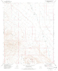
1970 Map of Buck Mountains SE
USGS Topo · Published 1982About this map
Dutch Flat dominates the eastern expanse of this arid landscape, a broad desert plain marked by cattle tanks and infrastructure that define mid-century land use in Mohave County. In this 1970 survey, the region relies on isolated water sources such as Shot Up Tank, Lower Tank, and various unnamed water tanks to support life in the rain shadow of the surrounding peaks. The terrain is bifurcated by the massive ridges of the Mohave Mountains and Black Mountain, where deep drainage systems like Deer Canyon and Buck Mountain Wash carve through the high ground. Transportation and utilities are sparse, represented primarily by the unpaved Dutch Flat Road, numerous jeep trails, and a prominent Pipeline cutting across the northeast. This map illustrates the transition from the high, craggy elevations of the Mohave range down to the sandy washes of Mohave Wash and Standard Wash.
Find a feature on this map
15 named features on this map. Tap any name to fly to it.
Don’t see what you’re looking for? This feature index may not catch every label — zoom into the map to look around manually.
Map Details
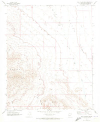
Editions of this 1970 Buck Mountains SE Map
2 editions found
Other maps of this area

1911 · Parker
USGS Topo · 1:125,000

1923 · Signal
USGS Topo · 1:250,000

1927 · Buck Mountains
USGS Topo · 1:62,500

1929 · Buck Mountains
USGS Topo · 1:62,500

1942 · Signal
USGS Topo · 1:250,000

1943 · Giers Basin
USGS Topo · 1:62,500

1950 · Prescott
USGS Topo · 1:250,000

1954 · Needles
USGS Topo · 1:250,000

1954 · Prescott
USGS Topo · 1:250,000

1956 · Needles
USGS Topo · 1:250,000