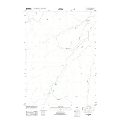
2012 Map of Buck Peak
USGS Topo · Published 2012About this map
Buck Peak and Lookout Peak define the high country of this Wyoming landscape, where scattered homesteads and ranches follow the drainage patterns of the mountain slopes. The settlement pattern is anchored by locations such as Buck Place, Snowshoe Ranch, and Leahy Place, illustrating the isolated, resource-dependent nature of life in Converse County. Transport through the area is primarily facilitated by Boxelder Rd, which navigates the terrain between various peaks and ridges.
Find a feature on this map
26 named features on this map. Tap any name to fly to it.
Don’t see what you’re looking for? This feature index may not catch every label — zoom into the map to look around manually.
Map Details
Editions of this 2012 Buck Peak Map
This is the sole edition of this map. No revisions or reprints were ever made.
Other maps of this area

1954 · Torrington
USGS Topo · 1:250,000

1955 · Casper
USGS Topo · 1:250,000

1958 · Casper
USGS Topo · 1:250,000

1958 · Torrington
USGS Topo · 1:250,000

1959 · Squaw Spring
USGS Topo · 1:24,000

1960 · Banner Mtn
USGS Topo · 1:24,000

1960 · Reno Hill
USGS Topo · 1:24,000

1962 · Casper
USGS Topo · 1:250,000

1964 · Buck Peak
USGS Topo · 1:24,000

1964 · Buffalo Peak
USGS Topo · 1:24,000