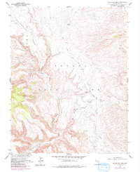
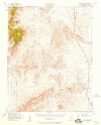
1961 Map of Buckboard Mesa
USGS Topo · Published 1984About this map
Nevada Test Site lands dominate this high desert landscape, which was mapped in cooperation with the Atomic Energy Commission during a period of intense Cold War activity. The terrain is defined by the broad elevation of Buckboard Mesa and the deep incisions of Fortymile Canyon, revealing a place where ancient history and modern defense technology intersect. While numerous Test Sites and a Drill Hole point to technical operations, the map also preserves the location of Indian Petroglyphs and a Cave tucked within the canyon walls. Water remains the critical factor for movement through this arid region, anchored by Tippipah Spring and accessed via a network of primitive paths including the Shoshone Trail and various Jeep Trails. This survey captures the specialized infrastructure required for desert testing alongside topographic landmarks like VABM Cat 5668.
Find a feature on this map
19 named features on this map. Tap any name to fly to it.
Don’t see what you’re looking for? This feature index may not catch every label — zoom into the map to look around manually.
Map Details
Editions of this 1961 Buckboard Mesa Map
4 editions found
Other maps of this area

1908 · Kawich
USGS Topo · 1:250,000

1908 · Furnace Creek
USGS Topo · 1:250,000

1910 · Furnace Creek
USGS Topo · 1:250,000

1942 · Wheelbarrow Peak
USGS Topo · 1:125,000

1942 · Skull Mountain
USGS Topo · 1:125,000

1948 · Death Valley
USGS Topo · 1:250,000

1952 · Topopah Spring
USGS Topo · 1:62,500

1952 · Tippipah Spring
USGS Topo · 1:62,500

1952 · Timber Mountain
USGS Topo · 1:62,500
1952 · Cane Spring
USGS Topo · 1:62,500